Tiffin night lights from space
Night Light of Tiffin (Ohio) from space (United States) Src. Average luminocity for 10x10km area is 29.6429% and for 50x50km: 5.1874%.
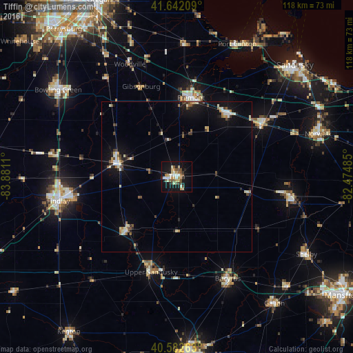
Analysis of Tiffin night lights 2016
Square area 10x10 km:
 2.92%
2.92%90-99
5.36%80-89
5.03%70-79
4.38%60-69
2.76%50-59
5.68%40-49
3.73%30-39
2.76%20-29
2.76%10-19
32.79%0-9
31.82%Square area 50x50 km:
0.41%90-99
0.96%80-89
0.68%70-79
0.49%60-69
0.39%50-59
0.71%40-49
0.65%30-39
0.71%20-29
0.86%10-19
4.31%0-9
89.82%Clear (daylight) street map image can be seen on geolist.org.
Map coordinates:
41° 38' 31.5" North, 83° 52' 52" West
41° 6' 52.2" North, 83° 10' 40.7" West
40° 34' 57.5" North, 82° 28' 29.5" West
Some cities around Tiffin sort by population:
• Findlay
40.3 km =25 mi,  258°
258°
• Fremont
26.6 km =16.5 mi,  10°
10°
• Fostoria
20.6 km =12.8 mi,  283°
283°
• Bucyrus
38 km =23.6 mi,  153°
153°
• Bellevue
33.2 km =20.6 mi,  57°
57°
• Upper Sandusky
33.1 km =20.6 mi,  195°
195°
• Clyde
27.1 km =16.8 mi,  38°
38°
• Willard
38.5 km =23.9 mi,  100°
100°
5173930 (p: 17,687)
Sources (retrieved 2019-11-25):
» Earth at Night: Flat Maps 2012, 2016