Bowling Green night lights from space
Night Light of Bowling Green (Ohio) from space (United States) Src. Average luminocity for 10x10km area is 43.335% and for 50x50km: 13.6297%.
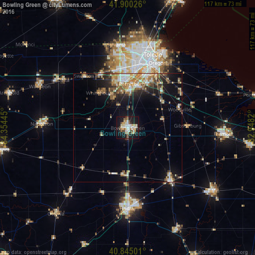
Analysis of Bowling Green night lights 2016
Square area 10x10 km:
 7.99%
7.99%90-99
10.03%80-89
8.5%70-79
2.89%60-69
4.25%50-59
4.93%40-49
4.25%30-39
3.4%20-29
7.99%10-19
39.46%0-9
6.29%Square area 50x50 km:
1.62%90-99
2.32%80-89
1.64%70-79
1.73%60-69
2.25%50-59
1.92%40-49
1.92%30-39
1.97%20-29
3.26%10-19
7.84%0-9
73.54%Clear (daylight) street map image can be seen on geolist.org.
Map coordinates:
41° 54' 0.9" North, 84° 21' 16" West
41° 22' 29.2" North, 83° 39' 4.8" West
40° 50' 42" North, 82° 56' 53.5" West
Some cities around Bowling Green sort by population:
• Toledo
33.1 km =20.6 mi,  13°
13°
• Perrysburg
20.4 km =12.7 mi, 5°
• Oregon
32.9 km =20.4 mi,  24°
24°
• Maumee
20.9 km =13 mi,  359°
359°
• Fostoria
31.1 km =19.3 mi,  141°
141°
• Rossford
27.1 km =16.8 mi, 15°
• Waterville
15.1 km =9.4 mi,  338°
338°
• Northwood
30 km =18.6 mi,  30°
30°
5147968 (p: 31,246)
Sources (retrieved 2019-11-25):
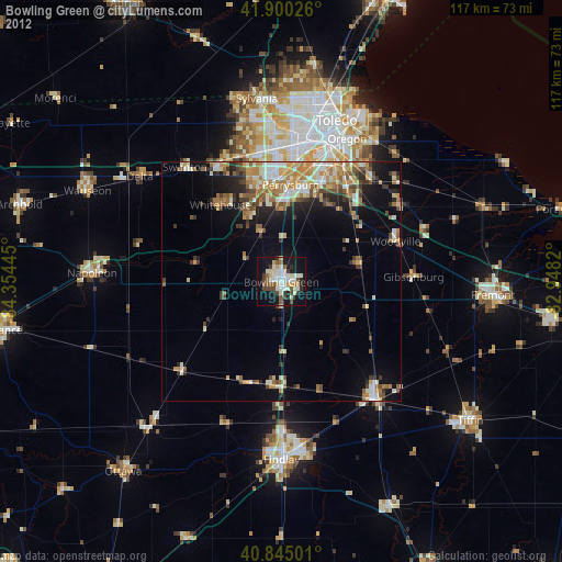
» Earth at Night: Flat Maps 2012, 2016