Fall River night lights from space
Night Light of Fall River (Massachusetts) from space (United States) Src. Average luminocity for 10x10km area is 63.8977% and for 50x50km: 31.6499%.
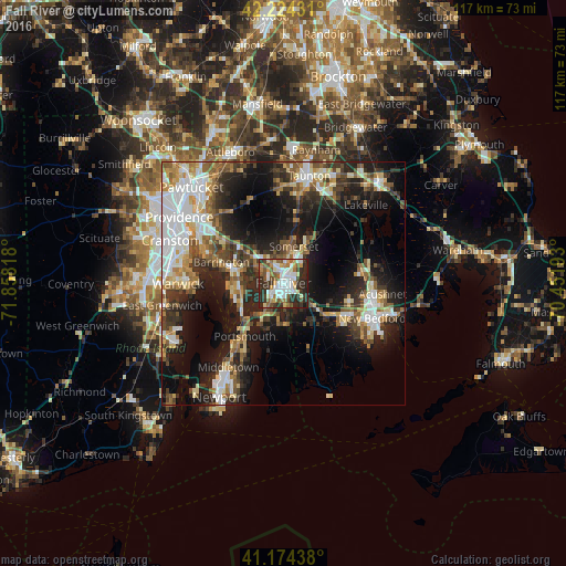
Analysis of Fall River night lights 2016
Square area 10x10 km:
 16.4%
16.4%90-99
15.1%80-89
6.33%70-79
7.14%60-69
8.28%50-59
9.25%40-49
7.14%30-39
11.2%20-29
18.34%10-19
0.81%0-9
0%Square area 50x50 km:
6.17%90-99
5.66%80-89
3.54%70-79
3.22%60-69
4.07%50-59
4.4%40-49
4.55%30-39
5.07%20-29
9.64%10-19
17.26%0-9
36.41%Clear (daylight) street map image can be seen on geolist.org.
Map coordinates:
42° 13' 27.5" North, 71° 51' 29.4" West
41° 42' 5.4" North, 71° 9' 18.2" West
41° 10' 27.8" North, 70° 27' 6.9" West
Some cities around Fall River sort by population:
• Bristol
9.6 km =6 mi,  253°
253°
• Somerset
7.9 km =4.9 mi,  16°
16°
• Swansea
5.9 km =3.7 mi,  330°
330°
• Head of Westport
11.8 km =7.3 mi,  139°
139°
• Warren
11.1 km =6.9 mi,  286°
286°
• Freetown
12.5 km =7.8 mi,  54°
54°
• Tiverton
9.7 km =6 mi,  209°
209°
• Dighton
12.8 km =8 mi,  12°
12°
4936159 (p: 88,777)
Sources (retrieved 2019-11-25):
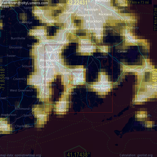
» NASA, Earths city lights 1995
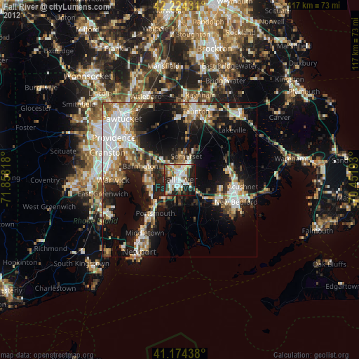
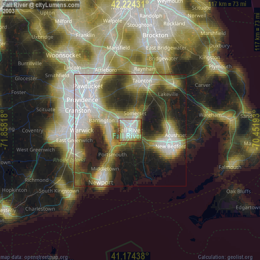
» NASA city lights 2003
» Earth at Night: Flat Maps 2012, 2016