Bristol night lights from space
Night Light of Bristol (Rhode Island) from space (United States) Src. Average luminocity for 10x10km area is 33.599% and for 50x50km: 34.4341%.
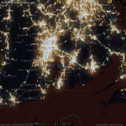
Analysis of Bristol night lights 2016
Square area 10x10 km:
 0.97%
0.97%90-99
4.87%80-89
3.08%70-79
4.87%60-69
4.22%50-59
5.68%40-49
4.06%30-39
5.03%20-29
35.71%10-19
23.54%0-9
7.95%Square area 50x50 km:
6.95%90-99
6.1%80-89
3.66%70-79
3.96%60-69
4.7%50-59
5.2%40-49
4.77%30-39
5.48%20-29
9.33%10-19
16.96%0-9
32.9%Clear (daylight) street map image can be seen on geolist.org.
Map coordinates:
42° 12' 0.3" North, 71° 58' 9.4" West
41° 40' 37.4" North, 71° 15' 58.2" West
41° 8' 59.1" North, 70° 33' 46.9" West
Some cities around Bristol sort by population:
• Fall River
9.6 km =6 mi,  73°
73°
• Warwick
12.7 km =7.9 mi,  281°
281°
• Portsmouth
8.4 km =5.2 mi,  171°
171°
• Middletown
14.8 km =9.2 mi,  188°
188°
• Barrington
7.9 km =4.9 mi,  333°
333°
• Swansea
10.1 km =6.3 mi,  38°
38°
• Warren
6.1 km =3.8 mi,  347°
347°
• Tiverton
7.2 km =4.5 mi,  142°
142°
5221077 (p: 22,795)
Sources (retrieved 2019-11-25):
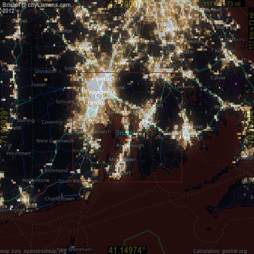
» Earth at Night: Flat Maps 2012, 2016