Summit Park night lights from space
Night Light of Summit Park (Utah) from space (United States) Src. Average luminocity for 10x10km area is 5.6218% and for 50x50km: 15.5444%.
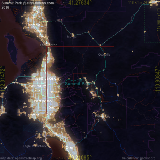
Analysis of Summit Park night lights 2016
Square area 10x10 km:
 0%
0%90-99
0.65%80-89
0%70-79
0.97%60-69
1.62%50-59
1.3%40-49
1.3%30-39
0.97%20-29
0.32%10-19
1.14%0-9
91.72%Square area 50x50 km:
4.66%90-99
3.63%80-89
1.41%70-79
1.68%60-69
1.92%50-59
1.53%40-49
0.98%30-39
1.61%20-29
2.6%10-19
4.36%0-9
75.63%Clear (daylight) street map image can be seen on geolist.org.
Map coordinates:
41° 16' 34.8" North, 112° 18' 53" West
40° 44' 44.8" North, 111° 36' 41.7" West
40° 12' 39.4" North, 110° 54' 30.5" West
Some cities around Summit Park sort by population:
• Millcreek
23.2 km =14.4 mi,  253°
253°
• Cottonwood Heights
21.8 km =13.5 mi,  230°
230°
• Holladay
19.9 km =12.4 mi,  244°
244°
• East Millcreek
17.5 km =10.9 mi, 253°
• Canyon Rim
18.2 km =11.3 mi,  256°
256°
• Park City
14.7 km =9.1 mi,  139°
139°
• Mount Olympus
16.3 km =10.1 mi, 245°
• Snyderville
8.1 km =5 mi, 135°
5782272 (p: 7,775)
Sources (retrieved 2019-11-25):
» Earth at Night: Flat Maps 2012, 2016