Erie night lights from space
Night Light of Erie (Colorado) from space (United States) Src. Average luminocity for 10x10km area is 33.8555% and for 50x50km: 34.2421%.
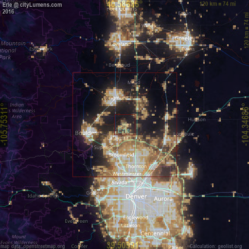
Analysis of Erie night lights 2016
Square area 10x10 km:
 0%
0%90-99
0%80-89
6.33%70-79
6.98%60-69
4.38%50-59
7.47%40-49
10.39%30-39
10.39%20-29
11.69%10-19
36.85%0-9
5.52%Square area 50x50 km:
4.2%90-99
4.82%80-89
5.31%70-79
6.66%60-69
5.81%50-59
5.88%40-49
5.03%30-39
5.06%20-29
8.3%10-19
15.86%0-9
33.07%Clear (daylight) street map image can be seen on geolist.org.
Map coordinates:
40° 35' 10.9" North, 105° 45' 11.2" West
40° 3' 0.9" North, 105° 2' 59.9" West
39° 30' 35.7" North, 104° 20' 48.7" West
Some cities around Erie sort by population:
• Longmont
13.7 km =8.5 mi,  341°
341°
• Broomfield
14.8 km =9.2 mi,  192°
192°
• Lafayette
7.2 km =4.5 mi,  208°
208°
• Louisville
10.7 km =6.6 mi,  220°
220°
• Superior
14.8 km =9.2 mi, 222°
• Firestone
11.9 km =7.4 mi,  54°
54°
• Frederick
11 km =6.8 mi,  60°
60°
• Gunbarrel
10.4 km =6.5 mi,  278°
278°
5576859 (p: 21,420)
Sources (retrieved 2019-11-25):
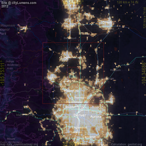
» Earth at Night: Flat Maps 2012, 2016