Elmont night lights from space
Night Light of Elmont (New York) from space (United States) Src. Average luminocity for 10x10km area is 99.8133% and for 50x50km: 63.7782%.
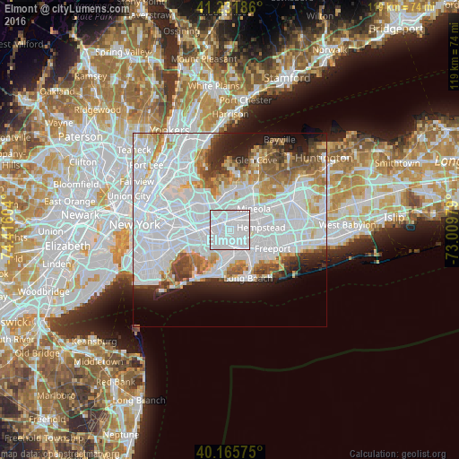
Analysis of Elmont night lights 2016
Square area 10x10 km:
 83.28%
90-99
16.72%80-89
0%70-79
0%60-69
0%50-59
0%40-49
0%30-39
0%20-29
0%10-19
0%0-9
0%Square area 50x50 km:
34.42%90-99
13.58%80-89
3.86%70-79
4.21%60-69
4.48%50-59
3.81%40-49
3.21%30-39
2.84%20-29
4.67%10-19
6.61%0-9
18.3%Clear (daylight) street map image can be seen on geolist.org.
Map coordinates:
41° 13' 54.7" North, 74° 24' 57.7" West
40° 42' 3.4" North, 73° 42' 46.5" West
40° 9' 56.7" North, 73° 0' 35.2" West
Some cities around Elmont sort by population:
• Queens Village
3.8 km =2.4 mi,  319°
319°
• Valley Stream
4.1 km =2.5 mi,  174°
174°
• Franklin Square
3.2 km =2 mi,  77°
77°
• Cambria Heights
2.3 km =1.4 mi,  251°
251°
• North Valley Stream
2 km =1.2 mi,  151°
151°
• Floral Park
2.6 km =1.6 mi,  15°
15°
• Malverne
4.1 km =2.5 mi,  126°
126°
• Bellaire
3.8 km =2.4 mi,  292°
292°
5116508 (p: 33,198)
Sources (retrieved 2019-11-25):
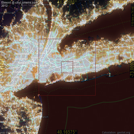
» Earth at Night: Flat Maps 2012, 2016