Bellaire night lights from space
Night Light of Bellaire (New York) from space (United States) Src. Average luminocity for 10x10km area is 99.875% and for 50x50km: 66.9214%.
Analysis of Bellaire night lights 2016
Square area 10x10 km:
 89.12%
90-99
10.88%80-89
0%70-79
0%60-69
0%50-59
0%40-49
0%30-39
0%20-29
0%10-19
0%0-9
0%Square area 50x50 km:
36.63%90-99
14.55%80-89
4.08%70-79
4.21%60-69
4.35%50-59
3.61%40-49
2.99%30-39
2.89%20-29
4.75%10-19
6.7%0-9
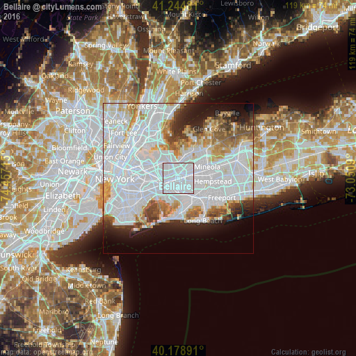
15.25%Clear (daylight) street map image can be seen on geolist.org.
Map coordinates:
41° 14' 41.3" North, 74° 27' 25.7" West
40° 42' 50.4" North, 73° 45' 14.5" West
40° 10' 44.1" North, 73° 3' 3.2" West
Some cities around Bellaire sort by population:
• Queens Village
1.8 km =1.1 mi,  36°
36°
• Elmont
3.8 km =2.4 mi,  112°
112°
• Fresh Meadows
4.1 km =2.5 mi,  304°
304°
• Hillside
2.8 km =1.7 mi,  256°
256°
• Cambria Heights
2.5 km =1.6 mi,  148°
148°
• Hollis
1.1 km =0.7 mi,  266°
266°
• Floral Park
4.3 km =2.7 mi,  75°
75°
• Terrace Heights
1.5 km =0.9 mi, 302°
5108677 (p: 5,610)
Sources (retrieved 2019-11-25):
» Earth at Night: Flat Maps 2012, 2016