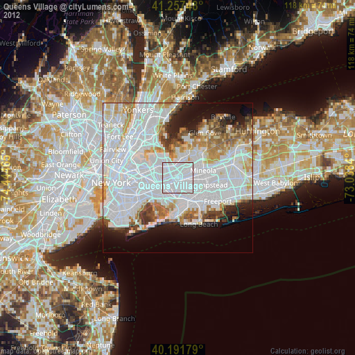
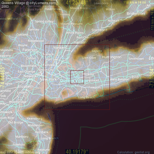
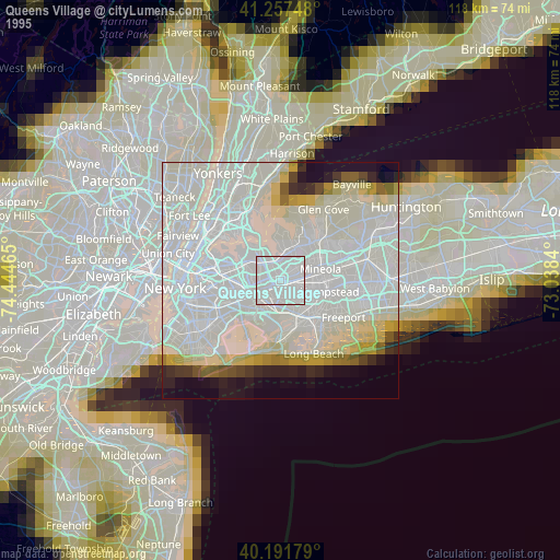
Queens Village night lights from space
Night Light of Queens Village (New York) from space (United States) Src. Average luminocity for 10x10km area is 99.7208% and for 50x50km: 67.7984%.

Analysis of Queens Village night lights 2016
Square area 10x10 km:
 81.98%
90-99
18.02%80-89
0%70-79
0%60-69
0%50-59
0%40-49
0%30-39
0%20-29
0%10-19
0%0-9
0%Square area 50x50 km:
36.42%90-99
15.02%80-89
4.2%70-79
4.38%60-69
4.57%50-59
3.76%40-49
3.19%30-39
2.95%20-29
4.81%10-19
6.94%0-9
13.75%Clear (daylight) street map image can be seen on geolist.org.
Map coordinates:
41° 15' 26.9" North, 74° 26' 40.7" West
40° 43' 36.4" North, 73° 44' 29.5" West
40° 11' 30.4" North, 73° 2' 18.2" West
Some cities around Queens Village sort by population:
• Elmont
3.8 km =2.4 mi,  139°
139°
• Cambria Heights
3.6 km =2.2 mi,  175°
175°
• Hollis
2.6 km =1.6 mi,  235°
235°
• Floral Park
3.1 km =1.9 mi,  96°
96°
• Terrace Heights
2.4 km =1.5 mi,  255°
255°
• Little Neck
4.1 km =2.5 mi,  11°
11°
• Glen Oaks
3.4 km =2.1 mi,  48°
48°
• Bellaire
1.8 km =1.1 mi,  216°
216°
5133271 (p: 51,919)
Sources (retrieved 2019-11-25):
» NASA, Earths city lights 1995
» NASA city lights 2003
» Earth at Night: Flat Maps 2012, 2016