Cambria Heights night lights from space
Night Light of Cambria Heights (New York) from space (United States) Src. Average luminocity for 10x10km area is 99.8263% and for 50x50km: 63.8702%.
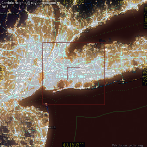
Analysis of Cambria Heights night lights 2016
Square area 10x10 km:
 85.55%
90-99
14.45%80-89
0%70-79
0%60-69
0%50-59
0%40-49
0%30-39
0%20-29
0%10-19
0%0-9
0%Square area 50x50 km:
35.02%90-99
13.75%80-89
3.78%70-79
3.91%60-69
4.21%50-59
3.7%40-49
3.17%30-39
2.84%20-29
4.51%10-19
5.98%0-9
19.12%Clear (daylight) street map image can be seen on geolist.org.
Map coordinates:
41° 13' 31.9" North, 74° 26' 29.8" West
40° 41' 40.4" North, 73° 44' 18.5" West
40° 9' 33.5" North, 73° 2' 7.3" West
Some cities around Cambria Heights sort by population:
• Queens Village
3.6 km =2.2 mi,  355°
355°
• Elmont
2.3 km =1.4 mi,  71°
71°
• Springfield Gardens
4 km =2.5 mi,  209°
209°
• Rosedale
3.6 km =2.2 mi,  175°
175°
• Laurelton
2.8 km =1.7 mi,  194°
194°
• Hollis
3.2 km =2 mi,  311°
311°
• North Valley Stream
3.3 km =2.1 mi,  108°
108°
• Bellaire
2.5 km =1.6 mi,  328°
328°
5111141 (p: 20,287)
Sources (retrieved 2019-11-25):
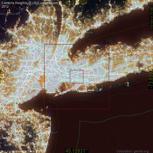
» Earth at Night: Flat Maps 2012, 2016