North Valley Stream night lights from space
Night Light of North Valley Stream (New York) from space (United States) Src. Average luminocity for 10x10km area is 99.638% and for 50x50km: 61.5174%.
Analysis of North Valley Stream night lights 2016
Square area 10x10 km:
 85.06%
90-99
13.8%80-89
0.97%70-79
0.16%60-69
0%50-59
0%40-49
0%30-39
0%20-29
0%10-19
0%0-9
0%Square area 50x50 km:
33.26%90-99
12.9%80-89
3.83%70-79
4.2%60-69
4.34%50-59
3.76%40-49
3.1%30-39
2.86%20-29
4.47%10-19
5.32%0-9
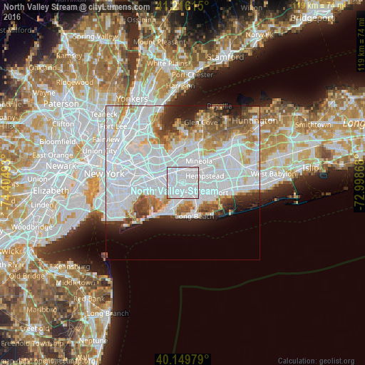
21.95%Clear (daylight) street map image can be seen on geolist.org.
Map coordinates:
41° 12' 58.1" North, 74° 24' 17.7" West
40° 41' 6.4" North, 73° 42' 6.5" West
40° 8' 59.2" North, 72° 59' 55.2" West
Some cities around North Valley Stream sort by population:
• Valley Stream
2.4 km =1.5 mi,  193°
193°
• Elmont
2 km =1.2 mi,  331°
331°
• Franklin Square
3.3 km =2.1 mi,  41°
41°
• Rosedale
3.8 km =2.4 mi,  227°
227°
• Cambria Heights
3.3 km =2.1 mi,  288°
288°
• Malverne
2.4 km =1.5 mi,  106°
106°
• South Valley Stream
3.5 km =2.2 mi,  202°
202°
• Lakeview
4.1 km =2.5 mi,  89°
89°
5129248 (p: 16,628)
Sources (retrieved 2019-11-25):
» Earth at Night: Flat Maps 2012, 2016