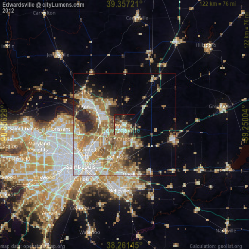
Edwardsville night lights from space
Night Light of Edwardsville (Illinois) from space (United States) Src. Average luminocity for 10x10km area is 52.0238% and for 50x50km: 35.7995%.
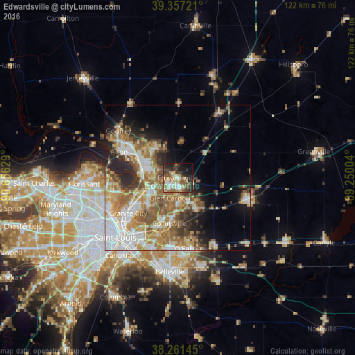
Analysis of Edwardsville night lights 2016
Square area 10x10 km:
 6.97%
6.97%90-99
10.71%80-89
8.16%70-79
5.1%60-69
9.69%50-59
6.63%40-49
12.24%30-39
11.05%20-29
12.41%10-19
11.73%0-9
5.27%Square area 50x50 km:
6.82%90-99
6.86%80-89
5.03%70-79
4.76%60-69
6.89%50-59
6.56%40-49
4.01%30-39
4.05%20-29
5.93%10-19
7.04%0-9
42.06%Clear (daylight) street map image can be seen on geolist.org.
Map coordinates:
39° 21' 26" North, 90° 39' 22.6" West
38° 48' 41.2" North, 89° 57' 11.4" West
38° 15' 41.2" North, 89° 15' 0.1" West
Some cities around Edwardsville sort by population:
• Collinsville
15.9 km =9.9 mi,  189°
189°
• Glen Carbon
7.5 km =4.7 mi,  200°
200°
• Wood River
13.7 km =8.5 mi,  293°
293°
• Troy
11 km =6.8 mi,  146°
146°
• Bethalto
13.3 km =8.3 mi,  325°
325°
• Maryville
9.8 km =6.1 mi,  181°
181°
• East Alton
15.7 km =9.8 mi,  299°
299°
• Pontoon Beach
14.1 km =8.8 mi,  231°
231°
4237717 (p: 24,992)
Sources (retrieved 2019-11-25):
» Earth at Night: Flat Maps 2012, 2016