East Point night lights from space
Night Light of East Point (Georgia) from space (United States) Src. Average luminocity for 10x10km area is 98.2198% and for 50x50km: 82.7461%.
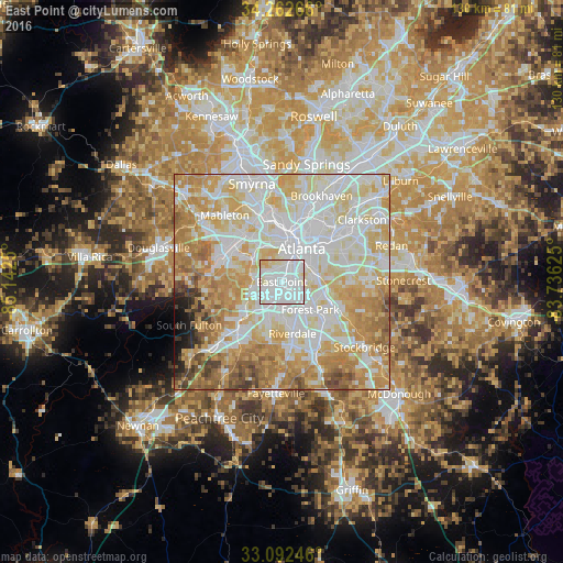
Analysis of East Point night lights 2016
Square area 10x10 km:
 68.5%
68.5%90-99
24.91%80-89
5.13%70-79
1.47%60-69
0%50-59
0%40-49
0%30-39
0%20-29
0%10-19
0%0-9
0%Square area 50x50 km:
24.96%90-99
22.98%80-89
15.66%70-79
14.28%60-69
11.24%50-59
4.07%40-49
2.55%30-39
1.54%20-29
1.12%10-19
1.21%0-9
0.38%Clear (daylight) street map image can be seen on geolist.org.
Map coordinates:
34° 15' 45.6" North, 85° 8' 33" West
33° 40' 46.4" North, 84° 26' 21.7" West
33° 5' 32.9" North, 83° 44' 10.5" West
Some cities around East Point sort by population:
• Atlanta
9.1 km =5.7 mi,  31°
31°
• Union City
14 km =8.7 mi,  222°
222°
• Forest Park
9.1 km =5.7 mi,  134°
134°
• Riverdale
12.1 km =7.5 mi,  168°
168°
• College Park
3 km =1.9 mi,  197°
197°
• Gresham Park
11.9 km =7.4 mi,  77°
77°
• Hapeville
3.5 km =2.2 mi, 128°
• Conley
11.2 km =7 mi,  110°
110°
4192674 (p: 35,467)
Sources (retrieved 2019-11-25):
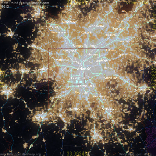
» Earth at Night: Flat Maps 2012, 2016