East Hills night lights from space
Night Light of East Hills (New York) from space (United States) Src. Average luminocity for 10x10km area is 85.8571% and for 50x50km: 66.3258%.
Analysis of East Hills night lights 2016
Square area 10x10 km:
 26.62%
90-99
24.03%80-89
14.29%70-79
16.07%60-69
14.12%50-59
4.87%40-49
0%30-39
0%20-29
0%10-19
0%0-9
0%Square area 50x50 km:
29.51%90-99
14.72%80-89
5.26%70-79
7.09%60-69
7.17%50-59
4.87%40-49
3.72%30-39
3.36%20-29
5.78%10-19
6.76%0-9
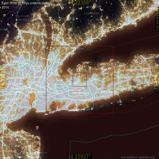
11.77%Clear (daylight) street map image can be seen on geolist.org.
Map coordinates:
41° 19' 26" North, 74° 19' 48.7" West
40° 47' 37.4" North, 73° 37' 37.5" West
40° 15' 33.4" North, 72° 55' 26.2" West
Some cities around East Hills sort by population:
• Mineola
5.1 km =3.2 mi,  193°
193°
• Westbury
5.4 km =3.4 mi,  141°
141°
• New Cassel
6.2 km =3.9 mi,  128°
128°
• Manhasset
6.1 km =3.8 mi,  274°
274°
• Williston Park
4.4 km =2.7 mi,  199°
199°
• Roslyn Heights
1.8 km =1.1 mi,  251°
251°
• North Hills
4.4 km =2.7 mi, 251°
• Albertson
2.6 km =1.6 mi,  211°
211°
5115904 (p: 7,155)
Sources (retrieved 2019-11-25):
» Earth at Night: Flat Maps 2012, 2016