Edgewater night lights from space
Night Light of Edgewater (New Jersey) from space (United States) Src. Average luminocity for 10x10km area is 98.1276% and for 50x50km: 87.3671%.
Analysis of Edgewater night lights 2016
Square area 10x10 km:
 58.67%
90-99
35.03%80-89
4.42%70-79
1.87%60-69
0%50-59
0%40-49
0%30-39
0%20-29
0%10-19
0%0-9
0%Square area 50x50 km:
46.41%90-99
19.62%80-89
6.56%70-79
8.36%60-69
9.31%50-59
4.14%40-49
1.79%30-39
1.72%20-29
1.36%10-19
0.74%0-9
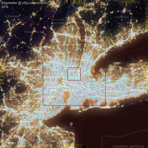
0%Clear (daylight) street map image can be seen on geolist.org.
Map coordinates:
41° 21' 25" North, 74° 40' 43.8" West
40° 49' 37.3" North, 73° 58' 32.5" West
40° 17' 34.3" North, 73° 16' 21.3" West
Some cities around Edgewater sort by population:
• Harlem
3.3 km =2.1 mi,  129°
129°
• North Bergen
4 km =2.5 mi,  230°
230°
• Morningside Heights
2.2 km =1.4 mi,  149°
149°
• Fort Lee
2.7 km =1.7 mi,  9°
9°
• Cliffside Park
1.2 km =0.7 mi,  238°
238°
• Palisades Park
3 km =1.9 mi,  321°
321°
• Fairview
2.5 km =1.6 mi, 230°
• Ridgefield
2.9 km =1.8 mi,  286°
286°
5097575 (p: 12,034)
Sources (retrieved 2019-11-25):
» Earth at Night: Flat Maps 2012, 2016