Douglas night lights from space
Night Light of Douglas (Arizona) from space (United States) Src. Average luminocity for 10x10km area is 53.3007% and for 50x50km: 3.3472%.
Analysis of Douglas night lights 2016
Square area 10x10 km:
 11.01%
90-99
10.84%80-89
4.72%70-79
11.71%60-69
9.97%50-59
5.24%40-49
6.64%30-39
1.75%20-29
9.09%10-19
25.7%0-9
3.32%Square area 50x50 km:
0.51%90-99
0.49%80-89
0.2%70-79
0.52%60-69
0.71%50-59
0.31%40-49
0.43%30-39
0.23%20-29
0.72%10-19
3.11%0-9
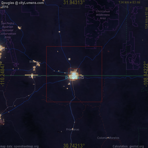
92.77%Clear (daylight) street map image can be seen on geolist.org.
Map coordinates:
31° 56' 35.3" North, 110° 14' 54.5" West
31° 20' 40.4" North, 109° 32' 43.2" West
30° 44' 31.7" North, 108° 50' 32" West
Some cities around Douglas sort by population:
• Agua Prieta, MX
1.6 km =1 mi,  191°
191°
• Sierra Vista
75.6 km =47 mi,  287°
287°
• Cananea, MX
81.3 km =50.5 mi,  240°
240°
• Sierra Vista Southeast
64.8 km =40.3 mi,  280°
280°
• Nacozari Viejo, MX
105.5 km =65.6 mi, 185°
• Esqueda, MX
69.1 km =42.9 mi,  183°
183°
• Naco, MX
38.2 km =23.7 mi,  267°
267°
• Bisbee
38.1 km =23.7 mi, 287°
5293083 (p: 16,592)
Sources (retrieved 2019-11-25):
» Earth at Night: Flat Maps 2012, 2016