Sierra Vista night lights from space
Night Light of Sierra Vista (Arizona) from space (United States) Src. Average luminocity for 10x10km area is 49.5927% and for 50x50km: 4.3528%.
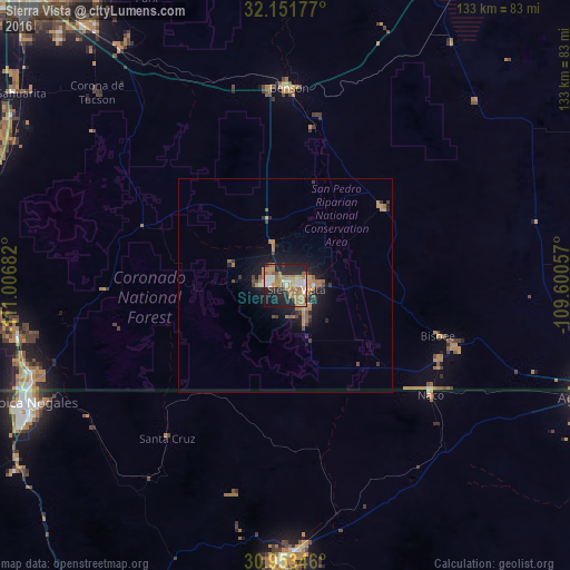
Analysis of Sierra Vista night lights 2016
Square area 10x10 km:
 6.47%
6.47%90-99
7.34%80-89
4.2%70-79
11.01%60-69
18.88%50-59
3.5%40-49
1.4%30-39
4.72%20-29
19.41%10-19
21.33%0-9
1.75%Square area 50x50 km:
0.33%90-99
0.35%80-89
0.26%70-79
0.97%60-69
1.4%50-59
0.4%40-49
0.36%30-39
0.71%20-29
1.34%10-19
3.59%0-9
90.28%Clear (daylight) street map image can be seen on geolist.org.
Map coordinates:
32° 9' 6.4" North, 111° 0' 24.6" West
31° 33' 16.3" North, 110° 18' 13.3" West
30° 57' 12.5" North, 109° 36' 2.1" West
Some cities around Sierra Vista sort by population:
• Nogales, MX
66.5 km =41.3 mi,  245°
245°
• Cananea, MX
63.1 km =39.2 mi,  178°
178°
• Nogales
64.4 km =40 mi, 248°
• Rio Rico
64.4 km =40 mi,  261°
261°
• Vail
67.1 km =41.7 mi,  324°
324°
• Naco, MX
42.3 km =26.3 mi,  126°
126°
• Corona de Tucson
63.9 km =39.7 mi, 315°
• Bisbee
37.5 km =23.3 mi,  108°
108°
5314328 (p: 43,355)
Sources (retrieved 2019-11-25):
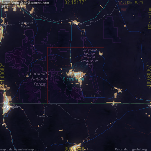
» Earth at Night: Flat Maps 2012, 2016