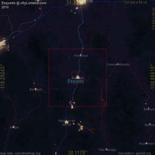
Esqueda night lights from space
Night Light of Esqueda (Sonora) from space (Mexico) Src. Average luminocity for 10x10km area is 4.7587% and for 50x50km: 0.3946%.
Analysis of Esqueda night lights 2016
Square area 10x10 km:
 0%
0%90-99
0%80-89
0%70-79
0.7%60-69
4.2%50-59
0%40-49
0.7%30-39
0.7%20-29
0.7%10-19
0.7%0-9
92.31%Square area 50x50 km:
0%90-99
0%80-89
0.03%70-79
0.03%60-69
0.24%50-59
0%40-49
0.11%30-39
0.13%20-29
0.11%10-19
0.06%0-9
99.29%Clear (daylight) street map image can be seen on geolist.org.
Map coordinates:
31° 19' 35.9" North, 110° 17' 32.7" West
30° 43' 26.8" North, 109° 35' 21.5" West
30° 7' 4.1" North, 108° 53' 10.2" West
Some cities around Esqueda sort by population:
• Agua Prieta
67.6 km =42 mi,  3°
3°
• Cananea
73 km =45.4 mi,  293°
293°
• Douglas, US
69.1 km =42.9 mi, 3°
• Sierra Vista Southeast, US
100.7 km =62.6 mi,  323°
323°
• Nacozari Viejo
36.5 km =22.7 mi,  189°
189°
• Nacozari de García
40 km =24.9 mi, 193°
• Naco
75.2 km =46.7 mi,  333°
333°
• Bisbee, US
86.7 km =53.9 mi,  338°
338°
4006532 (p: 6,749)
Sources (retrieved 2019-11-25):
» Earth at Night: Flat Maps 2012, 2016