Cananea night lights from space
Night Light of Cananea (Sonora) from space (Mexico) Src. Average luminocity for 10x10km area is 45.674% and for 50x50km: 3.1054%.
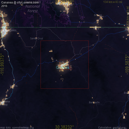
Analysis of Cananea night lights 2016
Square area 10x10 km:
 3.66%
3.66%90-99
6.04%80-89
5.49%70-79
13.74%60-69
12.82%50-59
4.21%40-49
6.96%30-39
6.23%20-29
5.86%10-19
29.12%0-9
5.86%Square area 50x50 km:
0.16%90-99
0.25%80-89
0.24%70-79
0.72%60-69
0.88%50-59
0.27%40-49
0.59%30-39
0.56%20-29
0.54%10-19
2.69%0-9
93.11%Clear (daylight) street map image can be seen on geolist.org.
Map coordinates:
31° 35' 16.3" North, 110° 59' 37.5" West
30° 59' 13.2" North, 110° 17' 26.2" West
30° 22' 56.4" North, 109° 35' 15" West
Some cities around Cananea sort by population:
• Nogales
71.6 km =44.5 mi,  299°
299°
• Sierra Vista, US
63.1 km =39.2 mi,  358°
358°
• Nogales, US
72.8 km =45.2 mi, 302°
• Sierra Vista Southeast, US
52.4 km =32.6 mi,  7°
7°
• Imuris
57.4 km =35.7 mi,  247°
247°
• Esqueda
73 km =45.4 mi,  113°
113°
• Naco
50 km =31.1 mi,  40°
40°
• Bisbee, US
61.8 km =38.4 mi,  33°
33°
4015700 (p: 31,560)
Sources (retrieved 2019-11-25):
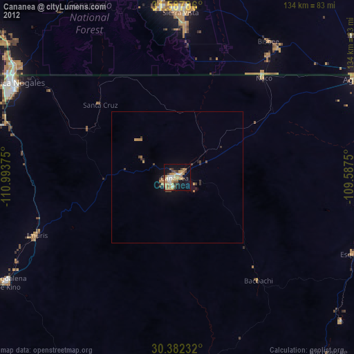
» Earth at Night: Flat Maps 2012, 2016