Agua Prieta night lights from space
Night Light of Agua Prieta (Sonora) from space (Mexico) Src. Average luminocity for 10x10km area is 55.1066% and for 50x50km: 3.3472%.
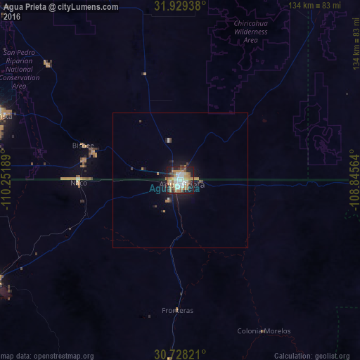
Analysis of Agua Prieta night lights 2016
Square area 10x10 km:
 11.01%
90-99
10.84%80-89
4.72%70-79
11.36%60-69
12.06%50-59
6.64%40-49
5.94%30-39
2.27%20-29
12.94%10-19
21.85%0-9
0.35%Square area 50x50 km:
0.51%90-99
0.49%80-89
0.2%70-79
0.52%60-69
0.71%50-59
0.31%40-49
0.43%30-39
0.23%20-29
0.72%10-19
3.11%0-9
92.77%Clear (daylight) street map image can be seen on geolist.org.
Map coordinates:
31° 55' 45.8" North, 110° 15' 6.8" West
31° 19' 50.6" North, 109° 32' 55.5" West
30° 43' 41.6" North, 108° 50' 44.3" West
Some cities around Agua Prieta sort by population:
• Sierra Vista, US
75.8 km =47.1 mi,  289°
289°
• Cananea
80.3 km =49.9 mi,  241°
241°
• Douglas, US
1.6 km =1 mi,  11°
11°
• Sierra Vista Southeast, US
64.8 km =40.3 mi,  282°
282°
• Nacozari Viejo
103.9 km =64.6 mi,  185°
185°
• Esqueda
67.6 km =42 mi,  183°
183°
• Naco
37.8 km =23.5 mi,  269°
269°
• Bisbee, US
38.3 km =23.8 mi, 289°
4019260 (p: 77,254)
Sources (retrieved 2019-11-25):
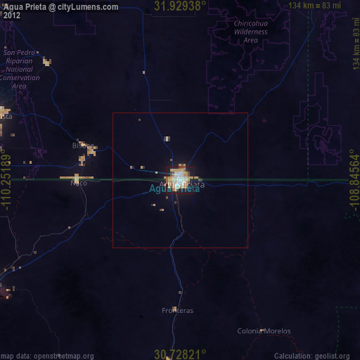
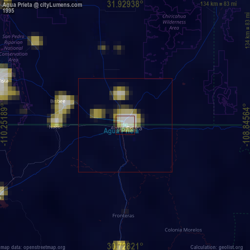
» NASA, Earths city lights 1995
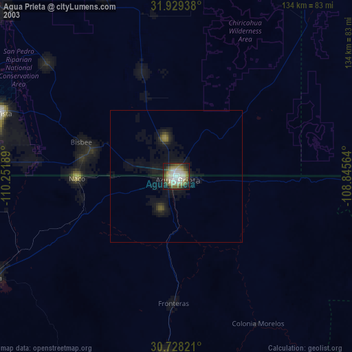
» NASA city lights 2003
» Earth at Night: Flat Maps 2012, 2016