Decatur night lights from space
Night Light of Decatur (Illinois) from space (United States) Src. Average luminocity for 10x10km area is 76.716% and for 50x50km: 8.6986%.
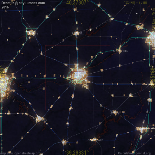
Analysis of Decatur night lights 2016
Square area 10x10 km:
 22.28%
90-99
22.11%80-89
6.97%70-79
12.24%60-69
8.84%50-59
11.9%40-49
8.16%30-39
3.06%20-29
3.23%10-19
1.19%0-9
0%Square area 50x50 km:
1.27%90-99
1.36%80-89
1.13%70-79
1.23%60-69
1.19%50-59
1.54%40-49
1.12%30-39
1.43%20-29
1.92%10-19
4.33%0-9
83.48%Clear (daylight) street map image can be seen on geolist.org.
Map coordinates:
40° 22' 41.1" North, 89° 39' 28.5" West
39° 50' 25.1" North, 88° 57' 17.3" West
39° 17' 53.9" North, 88° 15' 6" West
Some cities around Decatur sort by population:
• Springfield
59 km =36.7 mi,  265°
265°
• Lincoln
48.9 km =30.4 mi,  314°
314°
• Taylorville
43.5 km =27 mi,  221°
221°
• Mahomet
61.3 km =38.1 mi,  49°
49°
• Clinton
34.8 km =21.6 mi,  358°
358°
• Mount Zion
10.3 km =6.4 mi,  138°
138°
• Pana
51.3 km =31.9 mi,  192°
192°
• Monticello
38.6 km =24 mi,  57°
57°
4236895 (p: 73,254)
Sources (retrieved 2019-11-25):
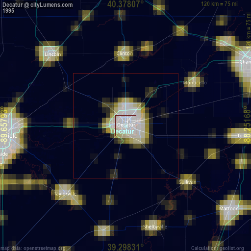
» NASA, Earths city lights 1995
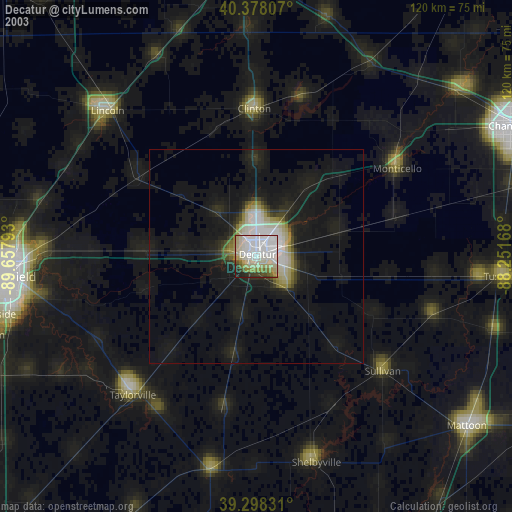
» NASA city lights 2003
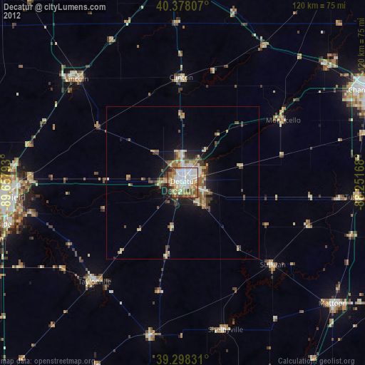
» Earth at Night: Flat Maps 2012, 2016