Carbondale night lights from space
Night Light of Carbondale (Colorado) from space (United States) Src. Average luminocity for 10x10km area is 3.7262% and for 50x50km: 0.9886%.
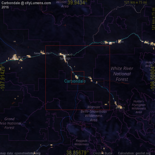
Analysis of Carbondale night lights 2016
Square area 10x10 km:
 0%
0%90-99
0%80-89
0.85%70-79
1.19%60-69
0.68%50-59
1.36%40-49
0%30-39
1.36%20-29
0%10-19
0%0-9
94.56%Square area 50x50 km:
0.08%90-99
0.05%80-89
0.07%70-79
0.23%60-69
0.17%50-59
0.06%40-49
0.22%30-39
0.39%20-29
0.05%10-19
0.2%0-9
98.48%Clear (daylight) street map image can be seen on geolist.org.
Map coordinates:
39° 56' 36.2" North, 107° 54' 51.4" West
39° 24' 8" North, 107° 12' 40.2" West
38° 51' 24.4" North, 106° 30' 28.9" West
Some cities around Carbondale sort by population:
• Edwards
59.4 km =36.9 mi,  62°
62°
• Glenwood Springs
19.2 km =11.9 mi,  329°
329°
• Rifle
51.3 km =31.9 mi,  286°
286°
• Gypsum
35.2 km =21.9 mi,  39°
39°
• Aspen
41.2 km =25.6 mi,  124°
124°
• Eagle
43.2 km =26.8 mi,  49°
49°
• Avon
64.4 km =40 mi,  66°
66°
• Vail
76.5 km =47.5 mi, 69°
5416113 (p: 6,670)
Sources (retrieved 2019-11-25):
» Earth at Night: Flat Maps 2012, 2016