Covington night lights from space
Night Light of Covington (Virginia) from space (United States) Src. Average luminocity for 10x10km area is 17.4337% and for 50x50km: 1.2747%.
Analysis of Covington night lights 2016
Square area 10x10 km:
 3.74%
3.74%90-99
3.06%80-89
0%70-79
3.06%60-69
2.55%50-59
2.55%40-49
0.68%30-39
1.53%20-29
0.68%10-19
7.14%0-9
75%Square area 50x50 km:
0.17%90-99
0.16%80-89
0.05%70-79
0.23%60-69
0.24%50-59
0.23%40-49
0.11%30-39
0.13%20-29
0.09%10-19
0.38%0-9
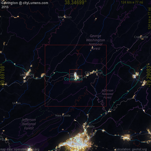
98.21%Clear (daylight) street map image can be seen on geolist.org.
Map coordinates:
38° 20' 49.2" North, 80° 41' 49.5" West
37° 47' 36.5" North, 79° 59' 38.2" West
37° 14' 8.7" North, 79° 17' 27" West
Some cities around Covington sort by population:
• Roanoke
58.3 km =36.2 mi,  175°
175°
• Salem
55.9 km =34.7 mi,  185°
185°
• Cave Spring
62.9 km =39.1 mi, 181°
• Hollins
50.5 km =31.4 mi,  174°
174°
• Vinton
57.6 km =35.8 mi, 171°
• Lexington
48.4 km =30.1 mi,  91°
91°
• Buena Vista
56.6 km =35.2 mi,  96°
96°
• Bedford
65.8 km =40.9 mi,  140°
140°
4754358 (p: 5,658)
Sources (retrieved 2019-11-25):
» Earth at Night: Flat Maps 2012, 2016