Salem night lights from space
Night Light of Salem (Virginia) from space (United States) Src. Average luminocity for 10x10km area is 63.9318% and for 50x50km: 13.3363%.
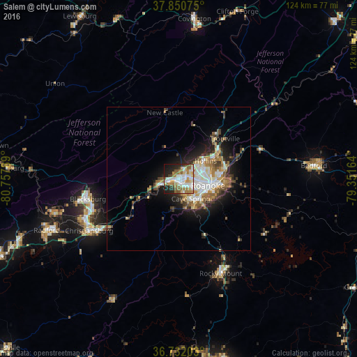
Analysis of Salem night lights 2016
Square area 10x10 km:
 16.56%
90-99
14.94%80-89
7.63%70-79
7.47%60-69
12.82%50-59
8.93%40-49
3.9%30-39
2.11%20-29
13.96%10-19
11.04%0-9
0.65%Square area 50x50 km:
2.35%90-99
2.67%80-89
1.52%70-79
1.57%60-69
1.98%50-59
1.85%40-49
1.59%30-39
1.65%20-29
3.28%10-19
6.32%0-9
75.22%Clear (daylight) street map image can be seen on geolist.org.
Map coordinates:
37° 51' 2.7" North, 80° 45' 28.4" West
37° 17' 36.5" North, 80° 3' 17.1" West
36° 43' 55.3" North, 79° 21' 5.9" West
Some cities around Salem sort by population:
• Roanoke
10.3 km =6.4 mi,  104°
104°
• Blacksburg
32.6 km =20.3 mi,  257°
257°
• Cave Spring
8.2 km =5.1 mi,  153°
153°
• Christiansburg
36.3 km =22.6 mi,  239°
239°
• Radford
49.6 km =30.8 mi,  248°
248°
• Hollins
11.2 km =7 mi,  61°
61°
• Vinton
14 km =8.7 mi, 95°
• Bedford
47.2 km =29.3 mi,  84°
84°
4784112 (p: 25,432)
Sources (retrieved 2019-11-25):
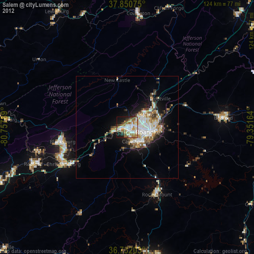
» Earth at Night: Flat Maps 2012, 2016