Roanoke night lights from space
Night Light of Roanoke (Virginia) from space (United States) Src. Average luminocity for 10x10km area is 85.8946% and for 50x50km: 13.3112%.
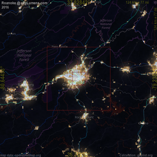

Analysis of Roanoke night lights 2016
Square area 10x10 km:
 30.95%
90-99
33.16%80-89
5.61%70-79
10.2%60-69
7.48%50-59
4.76%40-49
3.23%30-39
2.89%20-29
1.53%10-19
0.17%0-9
0%Square area 50x50 km:
2.35%90-99
2.67%80-89
1.48%70-79
1.52%60-69
1.96%50-59
1.89%40-49
1.51%30-39
1.81%20-29
3.24%10-19
6.35%0-9
75.21%Clear (daylight) street map image can be seen on geolist.org.
Map coordinates:
37° 49' 42.3" North, 80° 38' 40.4" West
37° 16' 15.5" North, 79° 56' 29.1" West
36° 42' 33.7" North, 79° 14' 17.9" West
Some cities around Roanoke sort by population:
• Blacksburg
42.1 km =26.2 mi,  263°
263°
• Salem
10.3 km =6.4 mi,  284°
284°
• Cave Spring
7.9 km =4.9 mi,  232°
232°
• Christiansburg
44.3 km =27.5 mi,  249°
249°
• Radford
58.3 km =36.2 mi, 254°
• Hollins
7.8 km =4.8 mi,  358°
358°
• Vinton
4.1 km =2.5 mi,  74°
74°
• Bedford
37.7 km =23.4 mi,  79°
79°
4782167 (p: 99,897)
Sources (retrieved 2019-11-25):
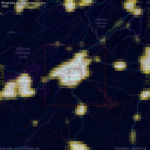
» NASA, Earths city lights 1995
» NASA city lights 2003
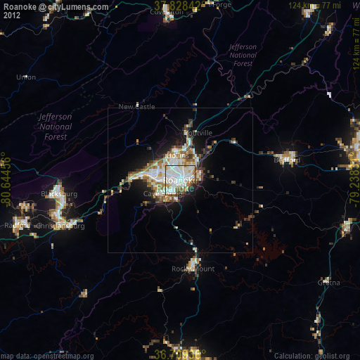
» Earth at Night: Flat Maps 2012, 2016