Corry night lights from space
Night Light of Corry (Pennsylvania) from space (United States) Src. Average luminocity for 10x10km area is 9.1635% and for 50x50km: 0.9155%.
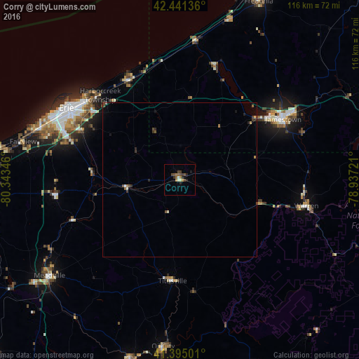
Analysis of Corry night lights 2016
Square area 10x10 km:
 0.48%
0.48%90-99
1.27%80-89
0.16%70-79
0.95%60-69
2.38%50-59
1.59%40-49
2.86%30-39
1.75%20-29
2.54%10-19
0.63%0-9
85.4%Square area 50x50 km:
0.03%90-99
0.13%80-89
0.06%70-79
0.06%60-69
0.19%50-59
0.17%40-49
0.26%30-39
0.2%20-29
0.26%10-19
0.12%0-9
98.51%Clear (daylight) street map image can be seen on geolist.org.
Map coordinates:
42° 26' 28.9" North, 80° 20' 36.5" West
41° 55' 13.2" North, 79° 38' 25.2" West
41° 23' 42" North, 78° 56' 14" West
Some cities around Corry sort by population:
• Erie
43.5 km =27 mi,  302°
302°
• Jamestown
38.8 km =24.1 mi,  59°
59°
• Meadville
52.5 km =32.6 mi,  233°
233°
• Oil City
54.4 km =33.8 mi,  185°
185°
• Warren
41.9 km =26 mi,  101°
101°
• Northwest Harborcreek
38.8 km =24.1 mi,  311°
311°
• Edinboro
41 km =25.5 mi,  262°
262°
• Titusville
32.7 km =20.3 mi,  184°
184°
5185490 (p: 6,420)
Sources (retrieved 2019-11-25):
» Earth at Night: Flat Maps 2012, 2016