Jamestown night lights from space
Night Light of Jamestown (New York) from space (United States) Src. Average luminocity for 10x10km area is 44.3803% and for 50x50km: 3.2003%.
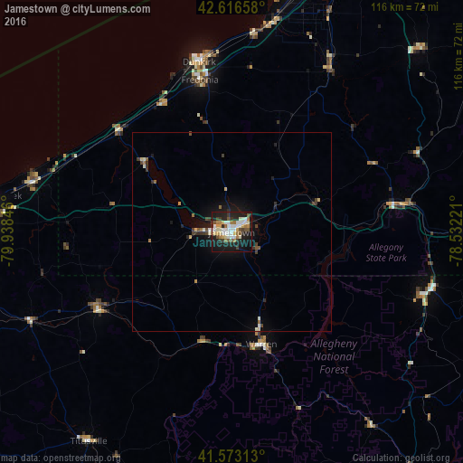
Analysis of Jamestown night lights 2016
Square area 10x10 km:
 9.09%
9.09%90-99
9.85%80-89
5.45%70-79
3.64%60-69
6.52%50-59
4.7%40-49
2.73%30-39
6.06%20-29
11.67%10-19
35.3%0-9
5%Square area 50x50 km:
0.41%90-99
0.58%80-89
0.39%70-79
0.2%60-69
0.42%50-59
0.31%40-49
0.39%30-39
0.62%20-29
0.67%10-19
2.75%0-9
93.26%Clear (daylight) street map image can be seen on geolist.org.
Map coordinates:
42° 36' 59.7" North, 79° 56' 18.5" West
42° 5' 49.2" North, 79° 14' 7.2" West
41° 34' 23.3" North, 78° 31' 56" West
Some cities around Jamestown sort by population:
• Dunkirk
43.3 km =26.9 mi,  349°
349°
• Fredonia
39 km =24.2 mi, 348°
• Warren
29.1 km =18.1 mi,  165°
165°
• Northwest Harborcreek
62.9 km =39.1 mi,  275°
275°
• Bradford
51.3 km =31.9 mi,  107°
107°
• Corry
38.8 km =24.1 mi,  239°
239°
• Salamanca
43.4 km =27 mi,  81°
81°
• Titusville
63.6 km =39.5 mi,  214°
214°
5122534 (p: 30,075)
Sources (retrieved 2019-11-25):
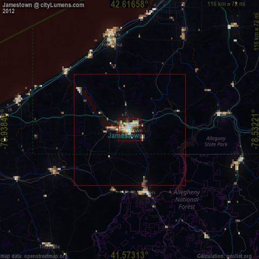
» Earth at Night: Flat Maps 2012, 2016