Warren night lights from space
Night Light of Warren (Pennsylvania) from space (United States) Src. Average luminocity for 10x10km area is 15.7476% and for 50x50km: 1.2614%.
Analysis of Warren night lights 2016
Square area 10x10 km:
 1.11%
1.11%90-99
3.17%80-89
0.79%70-79
3.81%60-69
1.75%50-59
2.54%40-49
2.22%30-39
0.79%20-29
1.9%10-19
4.44%0-9
77.46%Square area 50x50 km:
0.04%90-99
0.18%80-89
0.06%70-79
0.21%60-69
0.19%50-59
0.16%40-49
0.17%30-39
0.26%20-29
0.13%10-19
0.92%0-9
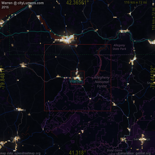
97.68%Clear (daylight) street map image can be seen on geolist.org.
Map coordinates:
42° 21' 56.2" North, 79° 50' 53.4" West
41° 50' 38.2" North, 79° 8' 42.1" West
41° 19' 4.8" North, 78° 26' 30.9" West
Some cities around Warren sort by population:
• Jamestown
29.1 km =18.1 mi,  345°
345°
• Olean
64.6 km =40.1 mi,  66°
66°
• Saint Marys
67.1 km =41.7 mi,  133°
133°
• Oil City
65.2 km =40.5 mi,  225°
225°
• Bradford
43.3 km =26.9 mi, 73°
• Corry
41.9 km =26 mi,  281°
281°
• Salamanca
49.8 km =30.9 mi,  45°
45°
• Titusville
50.1 km =31.1 mi,  241°
241°
5218023 (p: 9,334)
Sources (retrieved 2019-11-25):
» Earth at Night: Flat Maps 2012, 2016