Meadville night lights from space
Night Light of Meadville (Pennsylvania) from space (United States) Src. Average luminocity for 10x10km area is 26.375% and for 50x50km: 2.3237%.
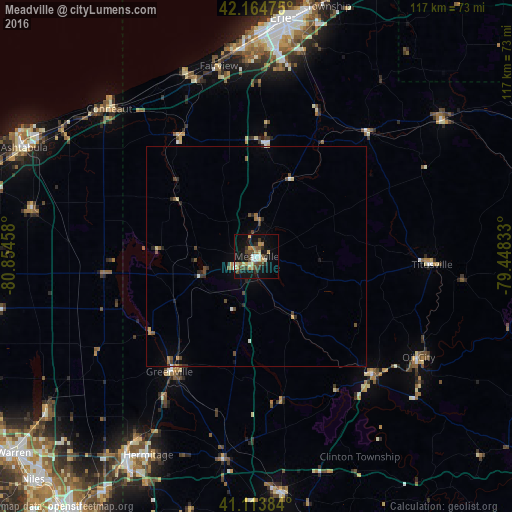
Analysis of Meadville night lights 2016
Square area 10x10 km:
 1.95%
1.95%90-99
3.9%80-89
4.55%70-79
3.9%60-69
2.27%50-59
2.27%40-49
7.79%30-39
2.27%20-29
5.03%10-19
30.52%0-9
35.55%Square area 50x50 km:
0.12%90-99
0.26%80-89
0.32%70-79
0.22%60-69
0.3%50-59
0.28%40-49
0.71%30-39
0.26%20-29
0.57%10-19
1.45%0-9
95.51%Clear (daylight) street map image can be seen on geolist.org.
Map coordinates:
42° 9' 53.1" North, 80° 51' 16.5" West
41° 38' 29.2" North, 80° 9' 5.2" West
41° 6' 49.8" North, 79° 26' 54" West
Some cities around Meadville sort by population:
• Hermitage
51.7 km =32.1 mi,  208°
208°
• Conneaut
47.7 km =29.6 mi,  315°
315°
• Oil City
43.6 km =27.1 mi,  121°
121°
• Edinboro
25.9 km =16.1 mi,  3°
3°
• Franklin
38 km =23.6 mi,  135°
135°
• Greenville
33.1 km =20.6 mi,  217°
217°
• Titusville
39.7 km =24.7 mi,  92°
92°
• Sugarcreek
33.2 km =20.6 mi, 137°
5200644 (p: 13,061)
Sources (retrieved 2019-11-25):
» Earth at Night: Flat Maps 2012, 2016