Savannah night lights from space
Night Light of Savannah (Tennessee) from space (United States) Src. Average luminocity for 10x10km area is 25.7063% and for 50x50km: 2.8984%.
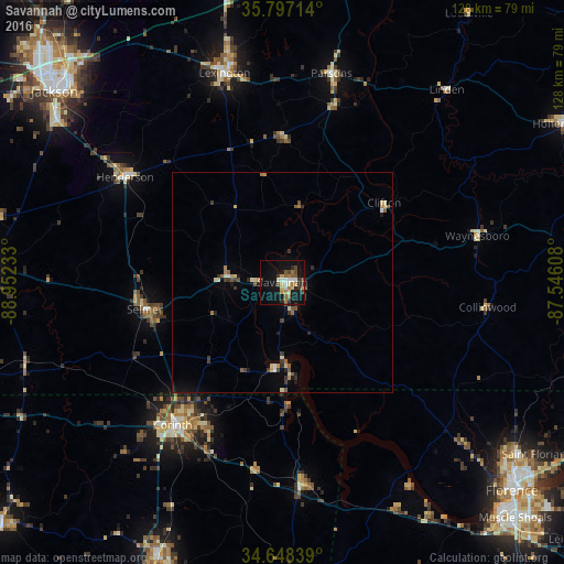
Analysis of Savannah night lights 2016
Square area 10x10 km:
 2.62%
2.62%90-99
2.45%80-89
4.55%70-79
2.27%60-69
5.07%50-59
3.67%40-49
3.85%30-39
4.55%20-29
3.15%10-19
27.1%0-9
40.73%Square area 50x50 km:
0.16%90-99
0.27%80-89
0.52%70-79
0.22%60-69
0.46%50-59
0.53%40-49
0.32%30-39
0.67%20-29
0.45%10-19
1.59%0-9
94.82%Clear (daylight) street map image can be seen on geolist.org.
Map coordinates:
35° 47' 49.7" North, 88° 57' 8.4" West
35° 13' 29.3" North, 88° 14' 57.1" West
34° 38' 54.2" North, 87° 32' 45.9" West
Some cities around Savannah sort by population:
• Jackson
67.1 km =41.7 mi,  310°
310°
• Florence
70.3 km =43.7 mi,  132°
132°
• Corinth
40.8 km =25.4 mi,  217°
217°
• Booneville
69.3 km =43.1 mi,  204°
204°
• Lexington
49.1 km =30.5 mi,  344°
344°
• Henderson
42.8 km =26.6 mi,  303°
303°
• Mount Carmel
37.4 km =23.2 mi,  35°
35°
• Bolivar
67.2 km =41.8 mi,  272°
272°
4656006 (p: 7,027)
Sources (retrieved 2019-11-25):
» Earth at Night: Flat Maps 2012, 2016