Carrollton night lights from space
Night Light of Carrollton (Texas) from space (United States) Src. Average luminocity for 10x10km area is 97.826% and for 50x50km: 90.0165%.
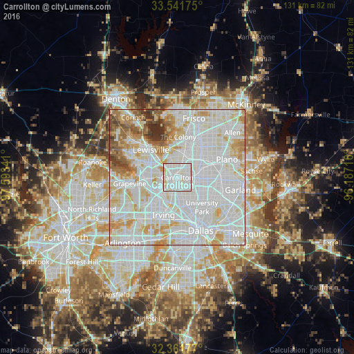
Analysis of Carrollton night lights 2016
Square area 10x10 km:
 48.53%
90-99
44.14%80-89
6.59%70-79
0.73%60-69
0%50-59
0%40-49
0%30-39
0%20-29
0%10-19
0%0-9
0%Square area 50x50 km:
39.91%90-99
30.56%80-89
9.92%70-79
7.45%60-69
4.69%50-59
3.34%40-49
1.75%30-39
1.61%20-29
0.77%10-19
0%0-9
0%Clear (daylight) street map image can be seen on geolist.org.
Map coordinates:
33° 32' 30.3" North, 97° 35' 36.3" West
32° 57' 13.4" North, 96° 53' 25" West
32° 21' 42.4" North, 96° 11' 13.8" West
Some cities around Carrollton sort by population:
• Richardson
15 km =9.3 mi,  92°
92°
• Lewisville
14.1 km =8.8 mi,  316°
316°
• The Colony
15 km =9.3 mi,  1°
1°
• Coppell
11.6 km =7.2 mi,  270°
270°
• Farmers Branch
3.1 km =1.9 mi,  190°
190°
• University Park
14.3 km =8.9 mi,  143°
143°
• Addison
5.8 km =3.6 mi,  81°
81°
• Highland Park
16.2 km =10.1 mi,  145°
145°
4679195 (p: 133,168)
Sources (retrieved 2019-11-25):
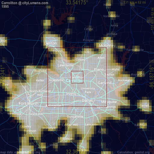
» NASA, Earths city lights 1995
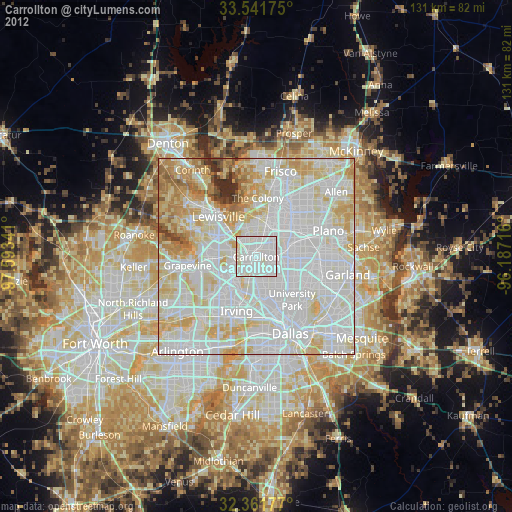
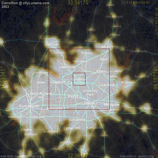
» NASA city lights 2003
» Earth at Night: Flat Maps 2012, 2016