Tompkinsville night lights from space
Night Light of Tompkinsville (New York) from space (United States) Src. Average luminocity for 10x10km area is 90.6964% and for 50x50km: 73.2085%.
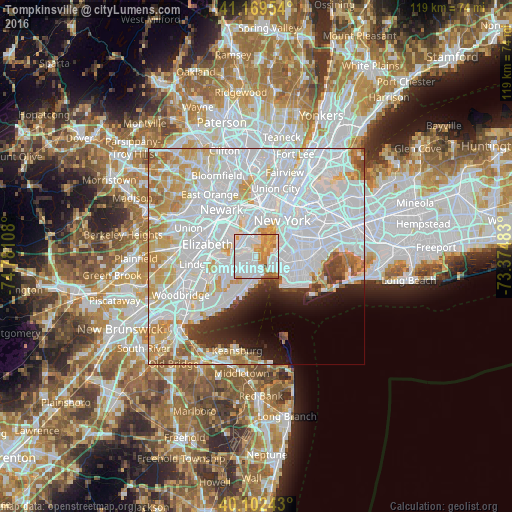
Analysis of Tompkinsville night lights 2016
Square area 10x10 km:
 47.4%
47.4%90-99
21.75%80-89
6.82%70-79
12.82%60-69
8.28%50-59
2.6%40-49
0.32%30-39
0%20-29
0%10-19
0%0-9
0%Square area 50x50 km:
39.16%90-99
16.88%80-89
6.7%70-79
6.43%60-69
4.23%50-59
2.16%40-49
1.85%30-39
2.15%20-29
3.29%10-19
4.32%0-9
12.83%Clear (daylight) street map image can be seen on geolist.org.
Map coordinates:
41° 10' 10.3" North, 74° 46' 51.9" West
40° 38' 17.2" North, 74° 4' 40.6" West
40° 6' 8.7" North, 73° 22' 29.4" West
Some cities around Tompkinsville sort by population:
• Bayonne
4.6 km =2.9 mi,  317°
317°
• Fort Hamilton
4.3 km =2.7 mi,  119°
119°
• Emerson Hill
3.6 km =2.2 mi,  204°
204°
• Arrochar
4.4 km =2.7 mi,  174°
174°
• Clifton
2 km =1.2 mi,  177°
177°
• Westerleigh
4.9 km =3 mi,  247°
247°
• Concord
3.4 km =2.1 mi,  189°
189°
• Stapleton
1.3 km =0.8 mi, 178°
5141165 (p: 8,343)
Sources (retrieved 2019-11-25):
» Earth at Night: Flat Maps 2012, 2016