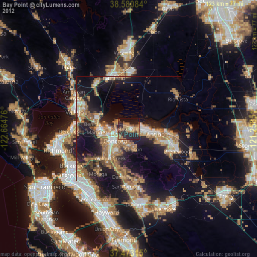
Bay Point night lights from space
Night Light of Bay Point (California) from space (United States) Src. Average luminocity for 10x10km area is 38.4838% and for 50x50km: 26.7077%.
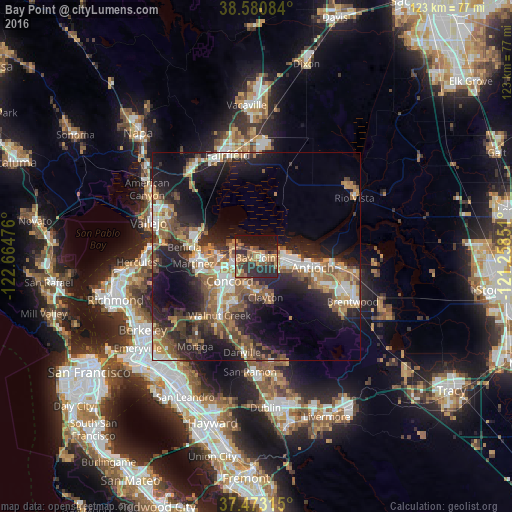
Analysis of Bay Point night lights 2016
Square area 10x10 km:
 1.14%
1.14%90-99
1.46%80-89
0.97%70-79
9.74%60-69
13.47%50-59
5.36%40-49
7.79%30-39
10.23%20-29
24.19%10-19
23.38%0-9
2.27%Square area 50x50 km:
3.44%90-99
3.77%80-89
1.52%70-79
4.12%60-69
4.97%50-59
5.42%40-49
4.94%30-39
3.96%20-29
10.02%10-19
15.83%0-9
42.02%Clear (daylight) street map image can be seen on geolist.org.
Map coordinates:
38° 34' 51" North, 122° 39' 53.1" West
38° 1' 44.7" North, 121° 57' 41.9" West
37° 28' 23.3" North, 121° 15' 30.6" West
Some cities around Bay Point sort by population:
• Concord
8.3 km =5.2 mi,  226°
226°
• Antioch
13.9 km =8.6 mi,  101°
101°
• Pittsburg
6.7 km =4.2 mi,  91°
91°
• Martinez
15.1 km =9.4 mi,  265°
265°
• Pleasant Hill
12.5 km =7.8 mi,  223°
223°
• Clayton
10 km =6.2 mi,  166°
166°
• Contra Costa Centre
14.1 km =8.8 mi, 216°
• Waldon
14.1 km =8.8 mi, 215°
5326561 (p: 21,534)
Sources (retrieved 2019-11-25):
» Earth at Night: Flat Maps 2012, 2016