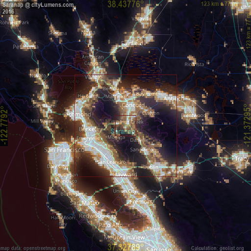
Saranap night lights from space
Night Light of Saranap (California) from space (United States) Src. Average luminocity for 10x10km area is 52.2711% and for 50x50km: 41.6441%.
Analysis of Saranap night lights 2016
Square area 10x10 km:
 5.68%
5.68%90-99
6.33%80-89
1.3%70-79
5.19%60-69
15.1%50-59
16.4%40-49
18.99%30-39
11.69%20-29
12.99%10-19
6.33%0-9
0%Square area 50x50 km:
8.16%90-99
7.82%80-89
2.32%70-79
4.94%60-69
6.56%50-59
8.26%40-49
7.19%30-39
5.88%20-29
13.6%10-19
16.04%0-9
19.23%Clear (daylight) street map image can be seen on geolist.org.
Map coordinates:
38° 26' 15.9" North, 122° 46' 45.1" West
37° 53' 5.7" North, 122° 4' 33.9" West
37° 19' 40.4" North, 121° 22' 22.6" West
Some cities around Saranap sort by population:
• Walnut Creek
2.6 km =1.6 mi,  22°
22°
• Pleasant Hill
7.1 km =4.4 mi,  10°
10°
• Lafayette
3.7 km =2.3 mi,  271°
271°
• Orinda
9.1 km =5.7 mi,  264°
264°
• Moraga
7.3 km =4.5 mi,  220°
220°
• Alamo
5.5 km =3.4 mi,  135°
135°
• Contra Costa Centre
5 km =3.1 mi, 18°
• Waldon
4.9 km =3 mi, 21°
5393484 (p: 5,202)
Sources (retrieved 2019-11-25):
» Earth at Night: Flat Maps 2012, 2016