Passaic night lights from space
Night Light of Passaic (New Jersey) from space (United States) Src. Average luminocity for 10x10km area is 99.0357% and for 50x50km: 81.8934%.
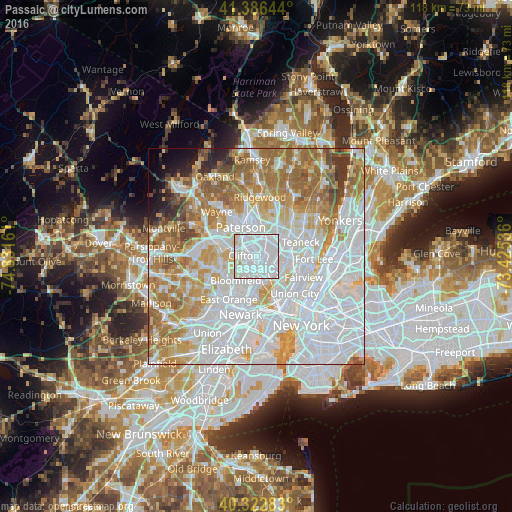
Analysis of Passaic night lights 2016
Square area 10x10 km:
 76.02%
90-99
22.62%80-89
1.19%70-79
0.17%60-69
0%50-59
0%40-49
0%30-39
0%20-29
0%10-19
0%0-9
0%Square area 50x50 km:
37.14%90-99
17.55%80-89
7.93%70-79
10.41%60-69
11.95%50-59
5.47%40-49
2.47%30-39
2.1%20-29
1.59%10-19
1.83%0-9
1.56%Clear (daylight) street map image can be seen on geolist.org.
Map coordinates:
41° 23' 11.2" North, 74° 49' 53.8" West
40° 51' 24.4" North, 74° 7' 42.5" West
40° 19' 22.2" North, 73° 25' 31.3" West
Some cities around Passaic sort by population:
• Clifton
3 km =1.9 mi,  273°
273°
• Garfield
3 km =1.9 mi,  25°
25°
• Rutherford
3.8 km =2.4 mi,  151°
151°
• Hasbrouck Heights
4 km =2.5 mi,  87°
87°
• Wallington
1.3 km =0.8 mi,  107°
107°
• East Rutherford
3.7 km =2.3 mi,  133°
133°
• Wood-Ridge
3.6 km =2.2 mi, 109°
• Carlstadt
3.7 km =2.3 mi,  119°
119°
5102443 (p: 71,085)
Sources (retrieved 2019-11-25):
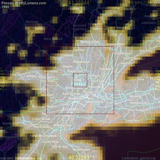
» NASA, Earths city lights 1995
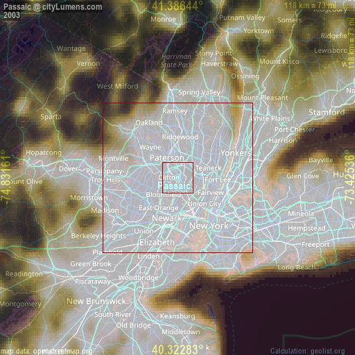
» NASA city lights 2003
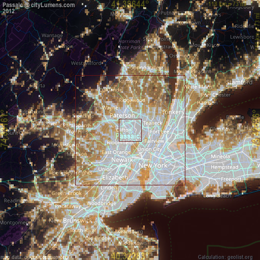
» Earth at Night: Flat Maps 2012, 2016