Castle Rock night lights from space
Night Light of Castle Rock (Colorado) from space (United States) Src. Average luminocity for 10x10km area is 43.7092% and for 50x50km: 16.7475%.
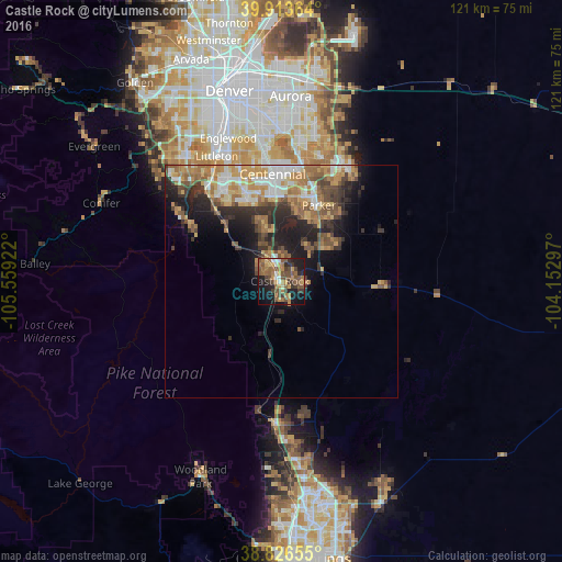
Analysis of Castle Rock night lights 2016
Square area 10x10 km:
 3.4%
3.4%90-99
2.21%80-89
2.21%70-79
9.86%60-69
13.27%50-59
13.78%40-49
10.37%30-39
7.82%20-29
7.14%10-19
24.32%0-9
5.61%Square area 50x50 km:
1.98%90-99
2.26%80-89
1.82%70-79
3.5%60-69
3.52%50-59
2.8%40-49
2.5%30-39
3%20-29
4.21%10-19
7.09%0-9
67.32%Clear (daylight) street map image can be seen on geolist.org.
Map coordinates:
39° 54' 49.1" North, 105° 33' 33.2" West
39° 22' 20" North, 104° 51' 21.9" West
38° 49' 35.6" North, 104° 9' 10.7" West
Some cities around Castle Rock sort by population:
• Centennial
23.1 km =14.4 mi,  355°
355°
• Highlands Ranch
22.4 km =13.9 mi,  334°
334°
• Parker
18.2 km =11.3 mi,  26°
26°
• Lone Tree
20.1 km =12.5 mi,  352°
352°
• The Pinery
13.9 km =8.6 mi,  48°
48°
• Roxborough Park
22.7 km =14.1 mi,  299°
299°
• Stonegate
18.2 km =11.3 mi,  14°
14°
• Dove Valley
23 km =14.3 mi, 5°
5416329 (p: 55,591)
Sources (retrieved 2019-11-25):
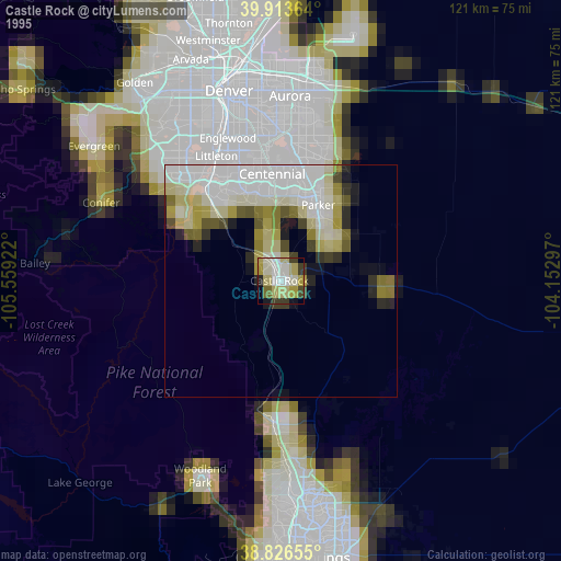
» NASA, Earths city lights 1995
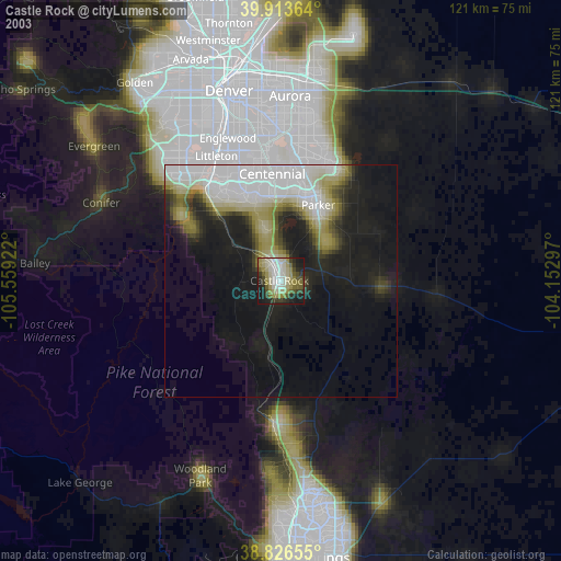
» NASA city lights 2003
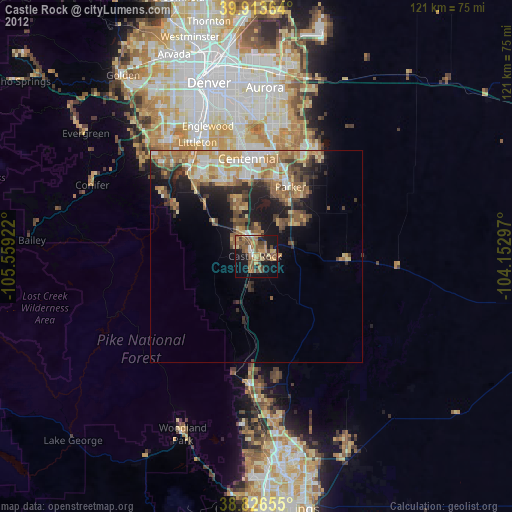
» Earth at Night: Flat Maps 2012, 2016