Casa Grande night lights from space
Night Light of Casa Grande (Arizona) from space (United States) Src. Average luminocity for 10x10km area is 48.6044% and for 50x50km: 7.4119%.
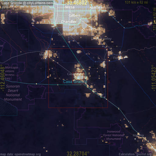
Analysis of Casa Grande night lights 2016
Square area 10x10 km:
 5.86%
5.86%90-99
8.97%80-89
6.41%70-79
9.89%60-69
12.64%50-59
7.51%40-49
2.01%30-39
3.11%20-29
12.82%10-19
25.46%0-9
5.31%Square area 50x50 km:
0.31%90-99
0.57%80-89
0.53%70-79
1.23%60-69
1.93%50-59
1.88%40-49
1.03%30-39
0.8%20-29
1.69%10-19
4.9%0-9
85.13%Clear (daylight) street map image can be seen on geolist.org.
Map coordinates:
33° 28' 4.9" North, 112° 27' 37.7" West
32° 52' 46.2" North, 111° 45' 26.5" West
32° 17' 13.3" North, 111° 3' 15.2" West
Some cities around Casa Grande sort by population:
• San Tan Valley
40.7 km =25.3 mi,  31°
31°
• Maricopa
33.6 km =20.9 mi,  306°
306°
• Queen Creek
42.6 km =26.5 mi,  15°
15°
• Florence
38.4 km =23.9 mi,  63°
63°
• Eloy
23.4 km =14.5 mi,  125°
125°
• Sun Lakes
38.5 km =23.9 mi,  343°
343°
• Coolidge
24.9 km =15.5 mi, 63°
• Arizona City
15.9 km =9.9 mi,  149°
149°
5288636 (p: 51,460)
Sources (retrieved 2019-11-25):
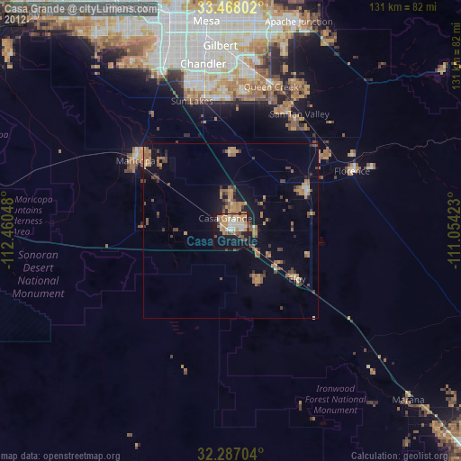
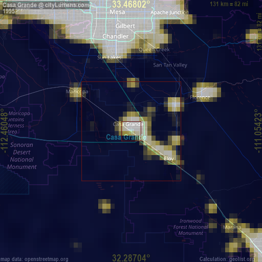
» NASA, Earths city lights 1995
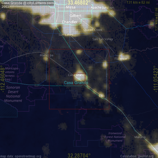
» NASA city lights 2003
» Earth at Night: Flat Maps 2012, 2016