Maricopa night lights from space
Night Light of Maricopa (Arizona) from space (United States) Src. Average luminocity for 10x10km area is 32.5842% and for 50x50km: 7.7531%.
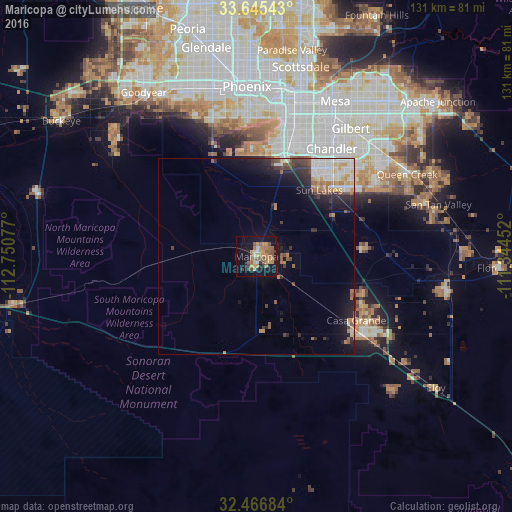
Analysis of Maricopa night lights 2016
Square area 10x10 km:
 0.73%
0.73%90-99
2.56%80-89
2.2%70-79
10.07%60-69
8.61%50-59
12.27%40-49
2.75%30-39
2.2%20-29
2.01%10-19
31.87%0-9
24.73%Square area 50x50 km:
1.06%90-99
1.54%80-89
0.55%70-79
1.04%60-69
1.07%50-59
1.35%40-49
0.87%30-39
0.92%20-29
2.04%10-19
5.37%0-9
84.18%Clear (daylight) street map image can be seen on geolist.org.
Map coordinates:
33° 38' 43.5" North, 112° 45' 2.8" West
33° 3' 29.2" North, 112° 2' 51.5" West
32° 28' 0.6" North, 111° 20' 40.3" West
Some cities around Maricopa sort by population:
• Chandler
33.6 km =20.9 mi,  34°
34°
• Gilbert
40.7 km =25.3 mi,  36°
36°
• Tempe Junction
40.8 km =25.4 mi,  13°
13°
• Ahwatukee Foothills
32.1 km =19.9 mi, 10°
• Casa Grande
33.6 km =20.9 mi,  126°
126°
• Sun Lakes
23.4 km =14.5 mi, 43°
• Guadalupe
35.7 km =22.2 mi, 12°
• Laveen
35.7 km =22.2 mi,  341°
341°
5303752 (p: 48,602)
Sources (retrieved 2019-11-25):
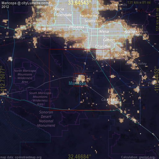
» Earth at Night: Flat Maps 2012, 2016