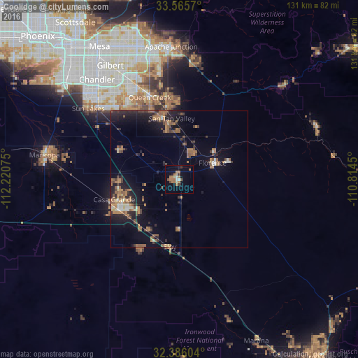
Coolidge night lights from space
Night Light of Coolidge (Arizona) from space (United States) Src. Average luminocity for 10x10km area is 17.2399% and for 50x50km: 8.9511%.
Analysis of Coolidge night lights 2016
Square area 10x10 km:
 0.73%
0.73%90-99
1.47%80-89
2.2%70-79
2.75%60-69
7.14%50-59
1.83%40-49
0.92%30-39
1.28%20-29
0.92%10-19
4.58%0-9
76.19%Square area 50x50 km:
0.45%90-99
0.73%80-89
0.54%70-79
1.42%60-69
2.12%50-59
2.11%40-49
1.24%30-39
1.12%20-29
2.57%10-19
6.07%0-9
81.64%Clear (daylight) street map image can be seen on geolist.org.
Map coordinates:
33° 33' 56.5" North, 112° 13' 14.7" West
32° 58' 40.2" North, 111° 31' 3.4" West
32° 23' 9.7" North, 110° 48' 52.2" West
Some cities around Coolidge sort by population:
• San Tan Valley
23.7 km =14.7 mi,  357°
357°
• Casa Grande
24.9 km =15.5 mi,  243°
243°
• Queen Creek
32 km =19.9 mi,  340°
340°
• Florence
13.5 km =8.4 mi,  63°
63°
• Eloy
24.9 km =15.5 mi,  188°
188°
• Sun Lakes
42.2 km =26.2 mi,  307°
307°
• Arizona City
28.5 km =17.7 mi,  210°
210°
• Gold Camp
40.3 km =25 mi,  29°
29°
5290663 (p: 12,297)
Sources (retrieved 2019-11-25):
» Earth at Night: Flat Maps 2012, 2016