Florence night lights from space
Night Light of Florence (Arizona) from space (United States) Src. Average luminocity for 10x10km area is 18.2399% and for 50x50km: 6.1009%.
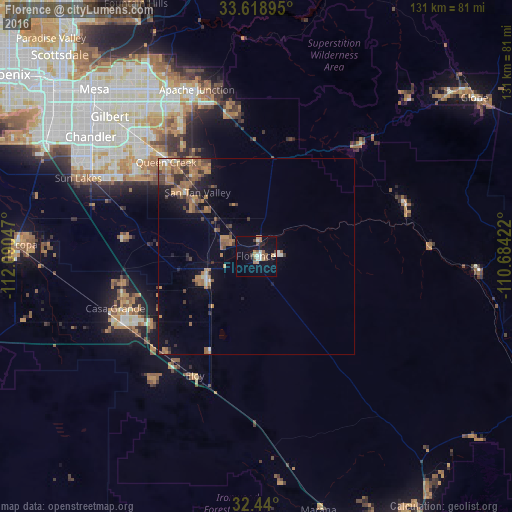
Analysis of Florence night lights 2016
Square area 10x10 km:
 2.75%
2.75%90-99
2.01%80-89
0.73%70-79
3.3%60-69
1.83%50-59
4.4%40-49
1.47%30-39
1.1%20-29
2.01%10-19
14.47%0-9
65.93%Square area 50x50 km:
0.26%90-99
0.37%80-89
0.31%70-79
1.02%60-69
1.96%50-59
1.53%40-49
1.04%30-39
0.89%20-29
1.15%10-19
2.71%0-9
88.74%Clear (daylight) street map image can be seen on geolist.org.
Map coordinates:
33° 37' 8.2" North, 112° 5' 25.7" West
33° 1' 53.2" North, 111° 23' 14.4" West
32° 26' 24" North, 110° 41' 3.2" West
Some cities around Florence sort by population:
• San Tan Valley
22.1 km =13.7 mi,  323°
323°
• Casa Grande
38.4 km =23.9 mi,  243°
243°
• Queen Creek
33.3 km =20.7 mi, 316°
• Eloy
34.4 km =21.4 mi,  207°
207°
• Coolidge
13.5 km =8.4 mi, 243°
• Arizona City
40.5 km =25.2 mi,  220°
220°
• Gold Canyon
38.1 km =23.7 mi,  353°
353°
• Gold Camp
30.2 km =18.8 mi,  14°
14°
5294902 (p: 31,110)
Sources (retrieved 2019-11-25):
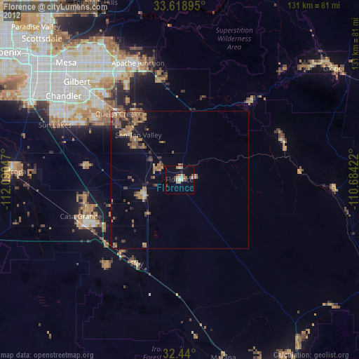
» Earth at Night: Flat Maps 2012, 2016