The Colony night lights from space
Night Light of The Colony (Texas) from space (United States) Src. Average luminocity for 10x10km area is 84.1703% and for 50x50km: 75.5167%.
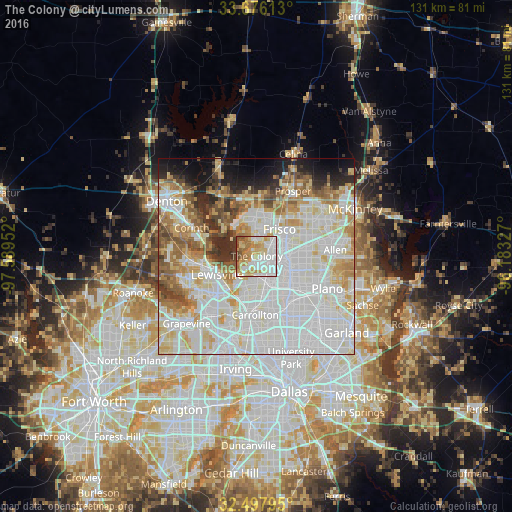
Analysis of The Colony night lights 2016
Square area 10x10 km:
 25.27%
90-99
22.71%80-89
15.38%70-79
15.93%60-69
11.9%50-59
6.04%40-49
2.75%30-39
0%20-29
0%10-19
0%0-9
0%Square area 50x50 km:
27.64%90-99
22.75%80-89
9.6%70-79
7.13%60-69
7.09%50-59
5.74%40-49
3.44%30-39
3.26%20-29
4.02%10-19
5.23%0-9
4.09%Clear (daylight) street map image can be seen on geolist.org.
Map coordinates:
33° 40' 34.1" North, 97° 35' 22.3" West
33° 5' 20.4" North, 96° 53' 11" West
32° 29' 52.6" North, 96° 10' 59.8" West
Some cities around The Colony sort by population:
• Frisco
9 km =5.6 mi,  40°
40°
• Carrollton
15 km =9.3 mi,  181°
181°
• Lewisville
11.1 km =6.9 mi,  244°
244°
• Little Elm
9.5 km =5.9 mi,  329°
329°
• Farmers Branch
18.1 km =11.2 mi, 182°
• Highland Village
14.9 km =9.3 mi,  271°
271°
• Addison
15.1 km =9.4 mi,  159°
159°
• Lake Dallas
13.4 km =8.3 mi,  284°
284°
4736388 (p: 41,779)
Sources (retrieved 2019-11-25):
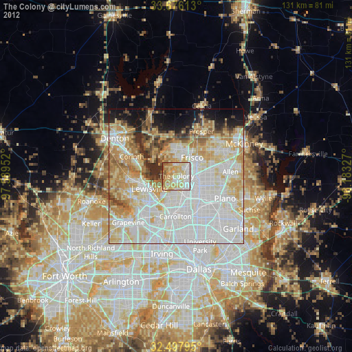
» Earth at Night: Flat Maps 2012, 2016