Richardson night lights from space
Night Light of Richardson (Texas) from space (United States) Src. Average luminocity for 10x10km area is 99.3736% and for 50x50km: 83.3779%.
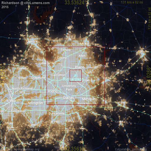
Analysis of Richardson night lights 2016
Square area 10x10 km:
 74.36%
90-99
25.09%80-89
0.55%70-79
0%60-69
0%50-59
0%40-49
0%30-39
0%20-29
0%10-19
0%0-9
0%Square area 50x50 km:
34.14%90-99
26.47%80-89
9.62%70-79
7.78%60-69
6.1%50-59
3.67%40-49
2.88%30-39
4.15%20-29
2.1%10-19
2.1%0-9
0.98%Clear (daylight) street map image can be seen on geolist.org.
Map coordinates:
33° 32' 10.5" North, 97° 25' 58.3" West
32° 56' 53.4" North, 96° 43' 47" West
32° 21' 22.2" North, 96° 1' 35.8" West
Some cities around Richardson sort by population:
• Plano
8.5 km =5.3 mi,  19°
19°
• Garland
9.4 km =5.8 mi,  115°
115°
• Carrollton
15 km =9.3 mi,  272°
272°
• University Park
12.7 km =7.9 mi,  211°
211°
• Sachse
12.9 km =8 mi,  76°
76°
• Murphy
13.2 km =8.2 mi,  55°
55°
• Addison
9.4 km =5.8 mi,  279°
279°
• Highland Park
14 km =8.7 mi,  204°
204°
4722625 (p: 110,815)
Sources (retrieved 2019-11-25):
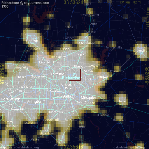
» NASA, Earths city lights 1995
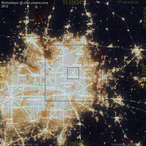
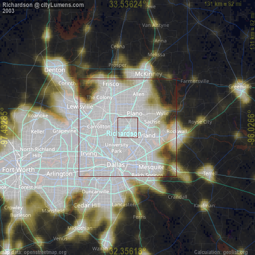
» NASA city lights 2003
» Earth at Night: Flat Maps 2012, 2016