Springfield Gardens night lights from space
Night Light of Springfield Gardens (New York) from space (United States) Src. Average luminocity for 10x10km area is 94.6558% and for 50x50km: 61.143%.
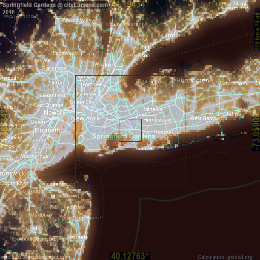
Analysis of Springfield Gardens night lights 2016
Square area 10x10 km:
 68.34%
90-99
15.42%80-89
2.76%70-79
4.06%60-69
6.66%50-59
2.76%40-49
0%30-39
0%20-29
0%10-19
0%0-9
0%Square area 50x50 km:
34.67%90-99
12.74%80-89
3.51%70-79
3.7%60-69
3.86%50-59
3.35%40-49
2.72%30-39
2.61%20-29
3.92%10-19
4.41%0-9
24.5%Clear (daylight) street map image can be seen on geolist.org.
Map coordinates:
41° 11' 39.6" North, 74° 27' 55.2" West
40° 39' 47.2" North, 73° 45' 44" West
40° 7' 39.5" North, 73° 3' 32.7" West
Some cities around Springfield Gardens sort by population:
• Jamaica
4.8 km =3 mi,  310°
310°
• Valley Stream
4.5 km =2.8 mi,  88°
88°
• Rosedale
2.3 km =1.4 mi, 93°
• Laurelton
1.5 km =0.9 mi,  59°
59°
• Cambria Heights
4 km =2.5 mi,  29°
29°
• Woodmere
5.4 km =3.4 mi,  129°
129°
• Inwood
4.7 km =2.9 mi,  164°
164°
• South Valley Stream
3.8 km =2.4 mi,  101°
101°
5139287 (p: 30,515)
Sources (retrieved 2019-11-25):
» Earth at Night: Flat Maps 2012, 2016