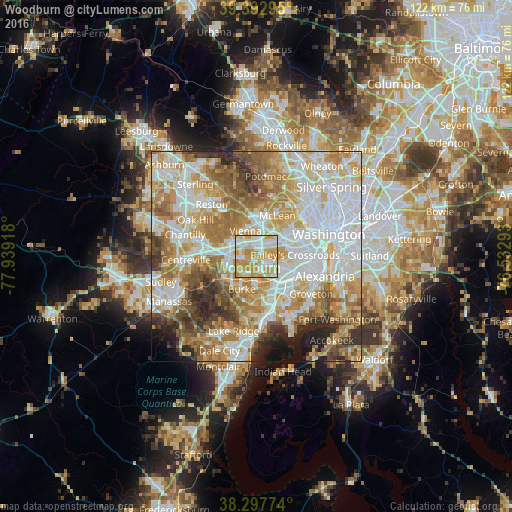
Woodburn night lights from space
Night Light of Woodburn (Virginia) from space (United States) Src. Average luminocity for 10x10km area is 86.6633% and for 50x50km: 73.6629%.
Analysis of Woodburn night lights 2016
Square area 10x10 km:
 23.98%
90-99
21.94%80-89
14.46%70-79
36.73%60-69
2.89%50-59
0%40-49
0%30-39
0%20-29
0%10-19
0%0-9
0%Square area 50x50 km:
21.37%90-99
17.31%80-89
9.86%70-79
13.15%60-69
11.76%50-59
7.87%40-49
5.07%30-39
4.61%20-29
4.9%10-19
2.88%0-9
1.23%Clear (daylight) street map image can be seen on geolist.org.
Map coordinates:
39° 23' 34.6" North, 77° 56' 21" West
38° 50' 50.8" North, 77° 14' 9.8" West
38° 17' 51.9" North, 76° 31' 58.5" West
Some cities around Woodburn sort by population:
• Annandale
3.9 km =2.4 mi,  118°
118°
• West Falls Church
4.6 km =2.9 mi,  65°
65°
• Fairfax
6.1 km =3.8 mi,  268°
268°
• Idylwood
5.7 km =3.5 mi,  21°
21°
• Merrifield
3.1 km =1.9 mi,  14°
14°
• Dunn Loring
5.3 km =3.3 mi, 13°
• North Springfield
5.5 km =3.4 mi,  150°
150°
• Mantua
2.1 km =1.3 mi,  289°
289°
8480064 (p: 8,480)
Sources (retrieved 2019-11-25):
» Earth at Night: Flat Maps 2012, 2016