North Decatur night lights from space
Night Light of North Decatur (Georgia) from space (United States) Src. Average luminocity for 10x10km area is 97.7028% and for 50x50km: 88.3454%.
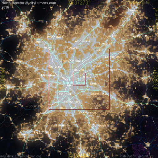
Analysis of North Decatur night lights 2016
Square area 10x10 km:
 45.98%
90-99
48.08%80-89
5.94%70-79
0%60-69
0%50-59
0%40-49
0%30-39
0%20-29
0%10-19
0%0-9
0%Square area 50x50 km:
30.17%90-99
26.62%80-89
19.24%70-79
14.51%60-69
5.27%50-59
1.61%40-49
1.39%30-39
1.13%20-29
0.06%10-19
0%0-9
0%Clear (daylight) street map image can be seen on geolist.org.
Map coordinates:
34° 22' 21.8" North, 85° 0' 33" West
33° 47' 25.4" North, 84° 18' 21.7" West
33° 12' 14.5" North, 83° 36' 10.5" West
Some cities around North Decatur sort by population:
• Atlanta
8.9 km =5.5 mi,  238°
238°
• Brookhaven
8.2 km =5.1 mi,  337°
337°
• Candler-McAfee
7.7 km =4.8 mi,  156°
156°
• Decatur
1.9 km =1.2 mi,  152°
152°
• Belvedere Park
5.3 km =3.3 mi,  137°
137°
• Druid Hills
3 km =1.9 mi,  248°
248°
• Clarkston
6.5 km =4 mi,  70°
70°
• Scottdale
3.9 km =2.4 mi,  90°
90°
4212992 (p: 16,698)
Sources (retrieved 2019-11-25):
» Earth at Night: Flat Maps 2012, 2016