Bristol night lights from space
Night Light of Bristol (Connecticut) from space (United States) Src. Average luminocity for 10x10km area is 54.8312% and for 50x50km: 37.6567%.
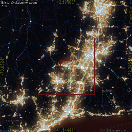
Analysis of Bristol night lights 2016
Square area 10x10 km:
 7.63%
7.63%90-99
6.17%80-89
7.63%70-79
7.31%60-69
12.5%50-59
14.77%40-49
10.23%30-39
13.31%20-29
14.45%10-19
6.01%0-9
0%Square area 50x50 km:
4.98%90-99
5.12%80-89
5.21%70-79
6.39%60-69
7.23%50-59
7.95%40-49
6.92%30-39
6.61%20-29
8.19%10-19
10.11%0-9
31.31%Clear (daylight) street map image can be seen on geolist.org.
Map coordinates:
42° 11' 41.4" North, 73° 39' 8.6" West
41° 40' 18.3" North, 72° 56' 57.4" West
41° 8' 39.9" North, 72° 14' 46.1" West
Some cities around Bristol sort by population:
• Waterbury
15.2 km =9.4 mi,  213°
213°
• New Britain
14.1 km =8.8 mi,  94°
94°
• Farmington
11.1 km =6.9 mi,  61°
61°
• Plainville
7.6 km =4.7 mi, 87°
• Wolcott
8.3 km =5.2 mi,  201°
201°
• Plymouth
8.6 km =5.3 mi,  270°
270°
• Oakville
14.3 km =8.9 mi,  232°
232°
• Terryville
5.2 km =3.2 mi,  277°
277°
5282835 (p: 60,452)
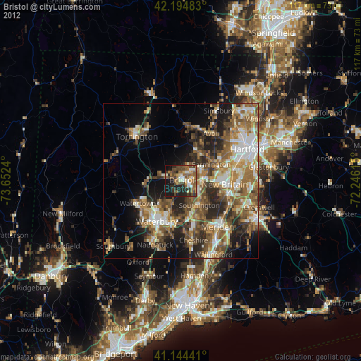
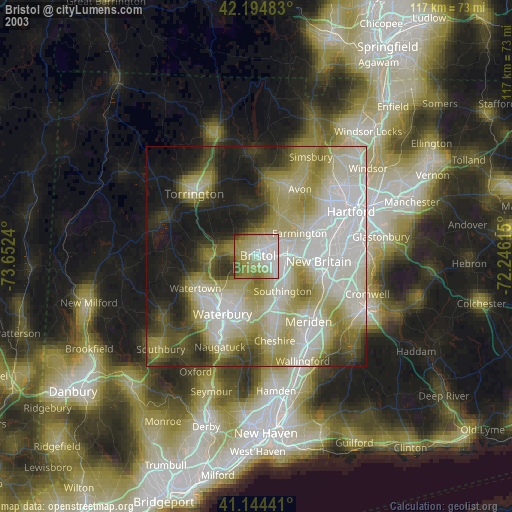
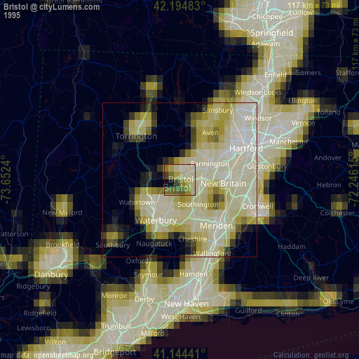
Sources (retrieved 2019-11-25):
» NASA, Earths city lights 1995
» NASA city lights 2003
» Earth at Night: Flat Maps 2012, 2016