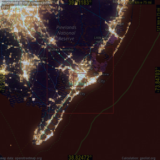
Northfield night lights from space
Night Light of Northfield (New Jersey) from space (United States) Src. Average luminocity for 10x10km area is 66.7075% and for 50x50km: 16.4461%.
Analysis of Northfield night lights 2016
Square area 10x10 km:
 15.14%
90-99
15.65%80-89
7.31%70-79
9.52%60-69
3.57%50-59
15.99%40-49
10.2%30-39
18.03%20-29
4.59%10-19
0%0-9
0%Square area 50x50 km:
1.83%90-99
1.98%80-89
2.18%70-79
2.22%60-69
2.15%50-59
2.81%40-49
3.1%30-39
3.12%20-29
4.55%10-19
11.65%0-9
64.4%Clear (daylight) street map image can be seen on geolist.org.
Map coordinates:
39° 54' 42.6" North, 75° 15' 11.8" West
39° 22' 13.4" North, 74° 33' 0.5" West
38° 49' 29" North, 73° 50' 49.3" West
Some cities around Northfield sort by population:
• Atlantic City
10.9 km =6.8 mi,  93°
93°
• Pleasantville
3.1 km =1.9 mi,  46°
46°
• Ocean City
10.5 km =6.5 mi,  191°
191°
• Somers Point
7 km =4.3 mi,  213°
213°
• Ventnor City
7.1 km =4.4 mi,  118°
118°
• Absecon
8 km =5 mi,  35°
35°
• Linwood
4 km =2.5 mi, 212°
• Margate City
6.2 km =3.9 mi,  139°
139°
4503316 (p: 8,521)
Sources (retrieved 2019-11-25):
» Earth at Night: Flat Maps 2012, 2016