Brenham night lights from space
Night Light of Brenham (Texas) from space (United States) Src. Average luminocity for 10x10km area is 37.6171% and for 50x50km: 3.0217%.
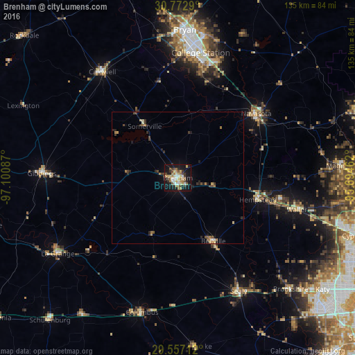
Analysis of Brenham night lights 2016
Square area 10x10 km:
 4.37%
4.37%90-99
5.42%80-89
5.59%70-79
7.17%60-69
6.99%50-59
4.72%40-49
2.97%30-39
6.47%20-29
3.85%10-19
41.96%0-9
10.49%Square area 50x50 km:
0.21%90-99
0.27%80-89
0.4%70-79
0.5%60-69
0.56%50-59
0.37%40-49
0.4%30-39
0.63%20-29
0.66%10-19
2.3%0-9
93.7%Clear (daylight) street map image can be seen on geolist.org.
Map coordinates:
30° 46' 22.4" North, 97° 6' 3.1" West
30° 10' 0.8" North, 96° 23' 51.9" West
29° 33' 25.6" North, 95° 41' 40.6" West
Some cities around Brenham sort by population:
• College Station
51.6 km =32.1 mi,  6°
6°
• Bryan
56.5 km =35.1 mi,  2°
2°
• Navasota
38.6 km =24 mi,  50°
50°
• Hempstead
31.7 km =19.7 mi,  104°
104°
• Sealy
48.8 km =30.3 mi,  151°
151°
• Prairie View
40.3 km =25 mi, 101°
• Brookshire
60.4 km =37.5 mi,  134°
134°
• Giddings
51.8 km =32.2 mi,  271°
271°
4676206 (p: 16,579)
Sources (retrieved 2019-11-25):
» Earth at Night: Flat Maps 2012, 2016