Bryan night lights from space
Night Light of Bryan (Texas) from space (United States) Src. Average luminocity for 10x10km area is 77.2727% and for 50x50km: 13.2937%.
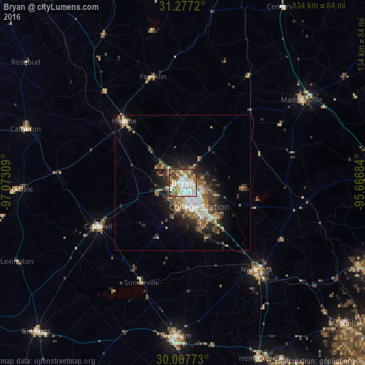
Analysis of Bryan night lights 2016
Square area 10x10 km:
 20.98%
90-99
22.73%80-89
6.29%70-79
10.84%60-69
16.96%50-59
7.69%40-49
8.74%30-39
3.67%20-29
2.1%10-19
0%0-9
0%Square area 50x50 km:
2.01%90-99
2.25%80-89
1.37%70-79
1.58%60-69
2.34%50-59
2.01%40-49
2.1%30-39
2.51%20-29
3.4%10-19
5.56%0-9
74.88%Clear (daylight) street map image can be seen on geolist.org.
Map coordinates:
31° 16' 37.9" North, 97° 4' 23.1" West
30° 40' 27.7" North, 96° 22' 11.9" West
30° 4' 3.8" North, 95° 40' 0.6" West
Some cities around Bryan sort by population:
• College Station
6.2 km =3.9 mi,  146°
146°
• Brenham
56.5 km =35.1 mi,  182°
182°
• Navasota
41.8 km =26 mi,  139°
139°
• Hempstead
70 km =43.5 mi,  156°
156°
• Prairie View
74.3 km =46.2 mi, 150°
• Rockdale
60.4 km =37.5 mi,  268°
268°
• Cameron
61.3 km =38.1 mi,  288°
288°
• Giddings
77.1 km =47.9 mi,  224°
224°
4677008 (p: 82,118)
Sources (retrieved 2019-11-25):
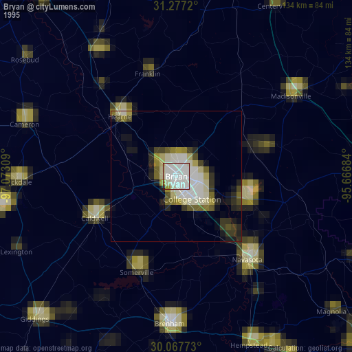
» NASA, Earths city lights 1995
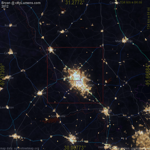
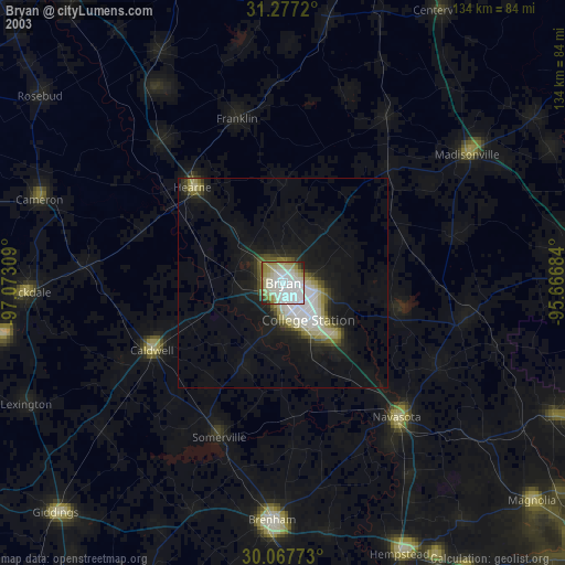
» NASA city lights 2003
» Earth at Night: Flat Maps 2012, 2016