Braintree night lights from space
Night Light of Braintree (Massachusetts) from space (United States) Src. Average luminocity for 10x10km area is 84.4091% and for 50x50km: 48.4552%.
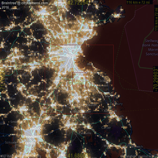
Analysis of Braintree night lights 2016
Square area 10x10 km:
 24.24%
90-99
28.48%80-89
8.94%70-79
13.64%60-69
16.21%50-59
7.73%40-49
0.76%30-39
0%20-29
0%10-19
0%0-9
0%Square area 50x50 km:
11.69%90-99
9.47%80-89
5.14%70-79
5.13%60-69
7.81%50-59
7.79%40-49
7.78%30-39
6.3%20-29
10.5%10-19
11.23%0-9
17.16%Clear (daylight) street map image can be seen on geolist.org.
Map coordinates:
42° 43' 21.1" North, 71° 42' 19" West
42° 12' 13.8" North, 71° 0' 7.7" West
41° 40' 51.1" North, 70° 17' 56.5" West
Some cities around Braintree sort by population:
• Quincy
5.5 km =3.4 mi,  359°
359°
• Weymouth
5.5 km =3.4 mi,  69°
69°
• Randolph
5.6 km =3.5 mi,  215°
215°
• Milton
7.3 km =4.5 mi,  313°
313°
• Rockland
10.8 km =6.7 mi,  138°
138°
• Abington
12 km =7.5 mi,  156°
156°
• Holbrook
5.4 km =3.4 mi,  185°
185°
• Hingham
10.2 km =6.3 mi, 65°
7257540 (p: 37,297)
Sources (retrieved 2019-11-25):
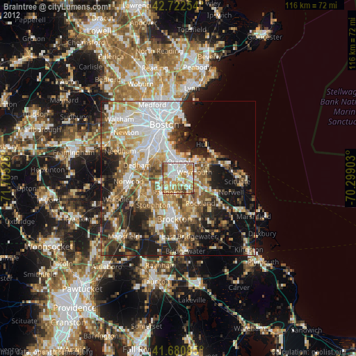
» Earth at Night: Flat Maps 2012, 2016